Quantocks Challenge 2021
Sat 24 Jul - Sun 22 Aug
Near: Taunton
Level of event: Local
Type of event:
Race, Score
Well, it's over for another year.
Thank you to Bill Vigar and Roger Craddock for all their help with control checking and advice.
Check out a review of this year's event... and join the post-run discussion here. If you missed out, you can still have a go at the course as a virtual POC.
Results
Full Course
Short Course
Discussion
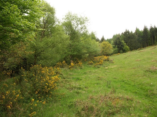
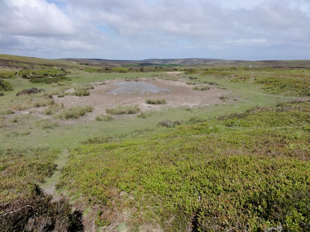
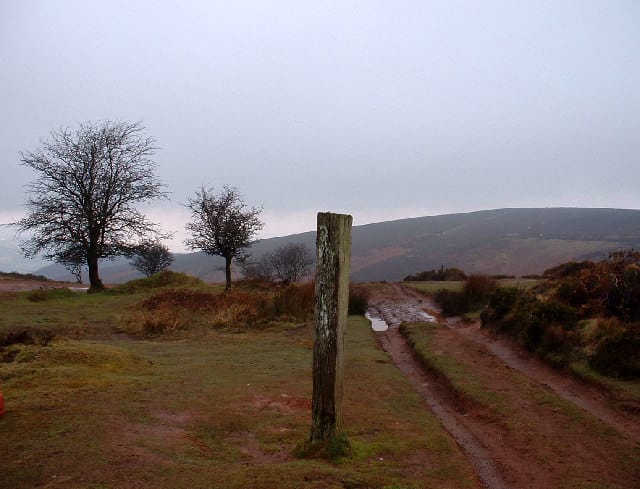
The Area
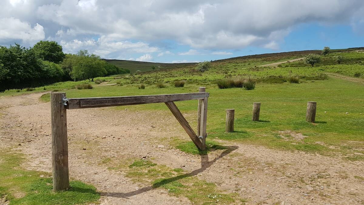
The start is at the Crowcombe Park Gate car park and the finish is at the Wilmot's Pool car park. The course covers the open access area south as far as Lydeard Hill, north west as far as Staple Plain, and north east as far as Dowsborough Hillfort.
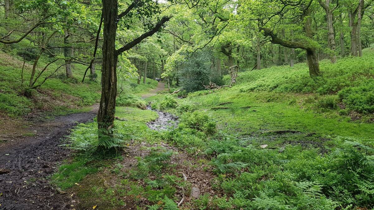
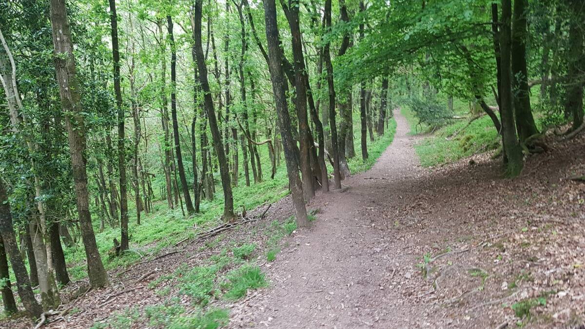
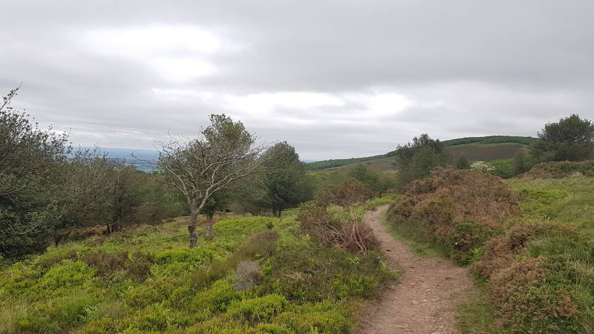
Have a sneaky advance look at the terrain...
The Maps
The full challenge uses two maps at 1:25000. The colouring and symbology is the standard orienteering system.
The short challenge uses just Map 1.
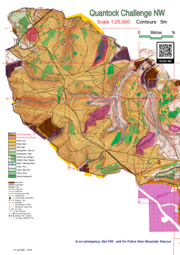
Map 1
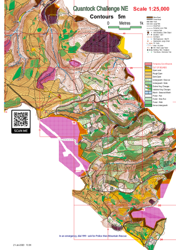
Map 2
How it Works
The course will use the MapRun app. You can install it from here.
The event pack will have a PIN on it that will allow you to download the course onto the app.
Make sure that audible notifications are turned on on your device. It is also worth ensuring that all other apps are stopped and that your wifi, data and Bluetooth are off in order to save battery. Turning your screen off once you've started will make a big difference to whether your battery will last the course, though in some devices this can cause it to go to sleep and need waking up at each control.
When you are ready, tap on 'Go to Start'. You should get a noise, and possibly vibration, when it registers you have reached the start. The start triangle on your screen should also go green. Your time has started!
Every control you visit should alert you in the same way, often just as you approach it. If you are sure it should have clocked you at a control but didn't, move on - if that happens, you will be able to raise a HITMO after the run which will send your GPS track to a human to review.
Make sure you punch the finish, however well or badly you think you did. Turn your data back on, or wait until you have a wifi connection, and upload the results.
You might want to try out one of our shorter permanent courses beforehand to make sure the app is working right.
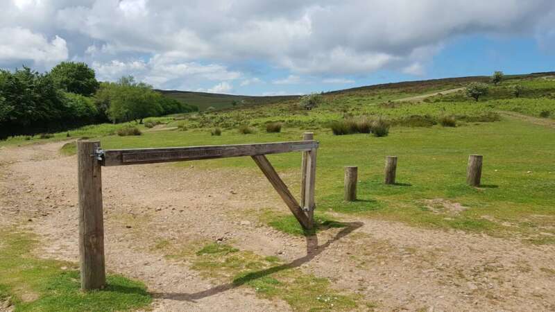
The start
Scoring
- Each control is worth a certain number of points, determined by the first digit (25 and 27 both score 20 points; 45 and 49 both score 40 points; etc.)
- You can visit them in any order between the start and the finish and do not have to get them all.
- Make sure you finish in time - 30 points are deducted for every minute you take over the time limit (1 second over loses 30 points; 2m50 over loses 90 points; etc.)
Safety
- Under-18s must be supervised.
- Exercise caution. Whilst we have done what we can to minimise risk, the course does involve some hazards, including road crossings.
- Ensure you are properly clothed and equipped for the weather on the day. If the weather is forecast to be extreme, consider doing it on a different day.
- Carry a whistle. In an emergency blow six blasts every other minute. Do not stop until help is with you.
- In an emergency, dial 999 and ask for Police then Mountain Rescue. Be prepared to give your location using a grid reference from the map or using W3W.
- Leave word of what you are doing with a responsible person, along with instruction to call out Mountain Rescue if they don't hear from you by a given time.
- Please read and follow the NHS advice on ticks.
Show Pre-Event Info
Directions / Parking
Park at Crowcombe Park Gate or any of the other carparks along the top road.
Course Information
Full Challenge
A 5hr score course.
It will use a 1:25000 map on two sides of A4. All controls will be on or very near paths.
Short Challenge
A 3hr score course.
It will use a 1:25000 map on one side of A4. All controls will be on or very near paths.
Entry Details
Register and Get Maps
Terrain Description
Mostly open moorland with some forest areas.
A Few Rules
The courses must be done on foot. No cycling or driving.
If running as a team, all members of the team must visit each control. No relays.
Areas marked Out Of Bounds must be avoided. We will add penalties or even disqualify anyone whose GPS track shows they went through one.
Contacts / Officials
Planner: Alasdair Shaw chair@quantockorienteers.co.uk
Important Event Information
Insurance: Please note: Participants who are not members of British Orienteering are not covered by British Orienteering’s public liability insurance. By entering this event, you acknowledge that you are taking part at your own risk. For example, if you were to accidentally injure a member of the public or damage property during the event, you would not be covered.
Safety and Risk: A comprehensive risk assessment will have been carried out by the organiser, but participants take part at their own risk and are responsible for their own safety during the event. All participants must report to download whether they finish their course or not.
Privacy: when participating in our events/activities your name may appear in the results section of this website or in newspaper reports. Read our data protection page to see how we look after your personal data.
Photography: QO has an agreed policy on the taking of photographs at events, based on national guidance. This provides a sensible balance between the benefits and risks associated with the taking and use of images. If you are unsure about acceptable practice, please speak to the event organiser. Photos taken may be retained beyond the 2 year window for legacy purposes.
Safeguarding: QO is aware of it's responsibilities in safeguarding and child protection. To comply with The Child Safeguarding Practice Review and Relevant Agency (England) Regulations 2018, we now provide an email address for individuals to report concerns to the Lead Safeguarding Officer. This address is safeguarding@britishorienteering.org.uk.
Photo Gallery
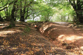
Triscombe Img 9580B
Credit:
Jim Nickolls