Correcting maps
At club night
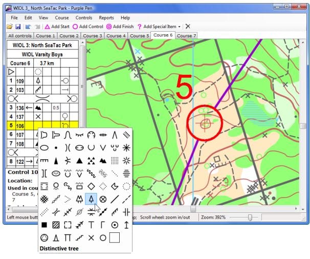
Planning using software
Credit:
Purple Pen website
Several of us attended a seminar led by Jim Mallinson featuring OCAD, the cartography software widely used throughout the orienteering world. The session was aimed at any current or future course planner, regardless of experience.
Session leader, Jim M
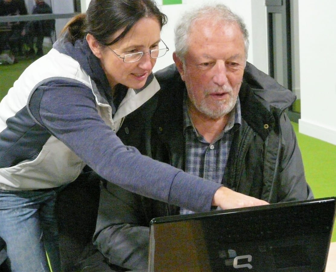
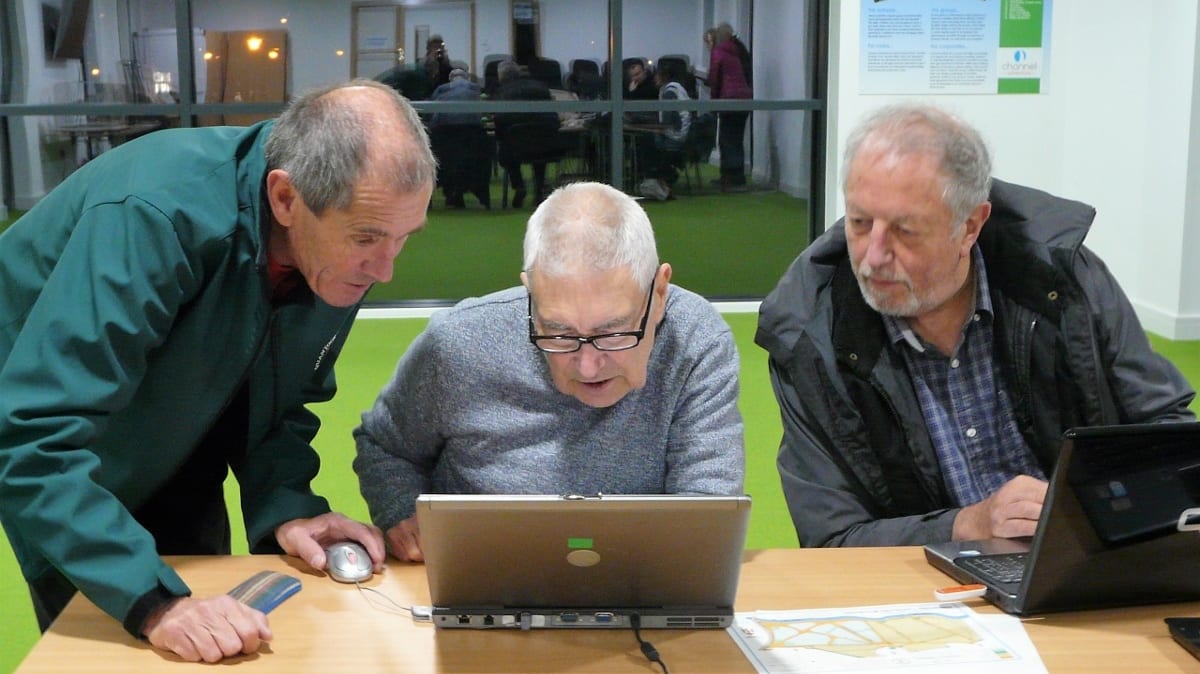
Wow I Can Show John Something!
Jim Mallinson gave an excellent talk in which he demonstrated how to use Purple Pen to put map corrections onto an OCAD map or the PDF of a map. He also showed how he can import this information directly into his latest OCAD package, enabling him to update maps accurately and efficiently from field work supplied to him in this way. We had laptops available for everyone to practise the skills introduced by Jim. In all a very worthwhile evening."
- Roger Craddock
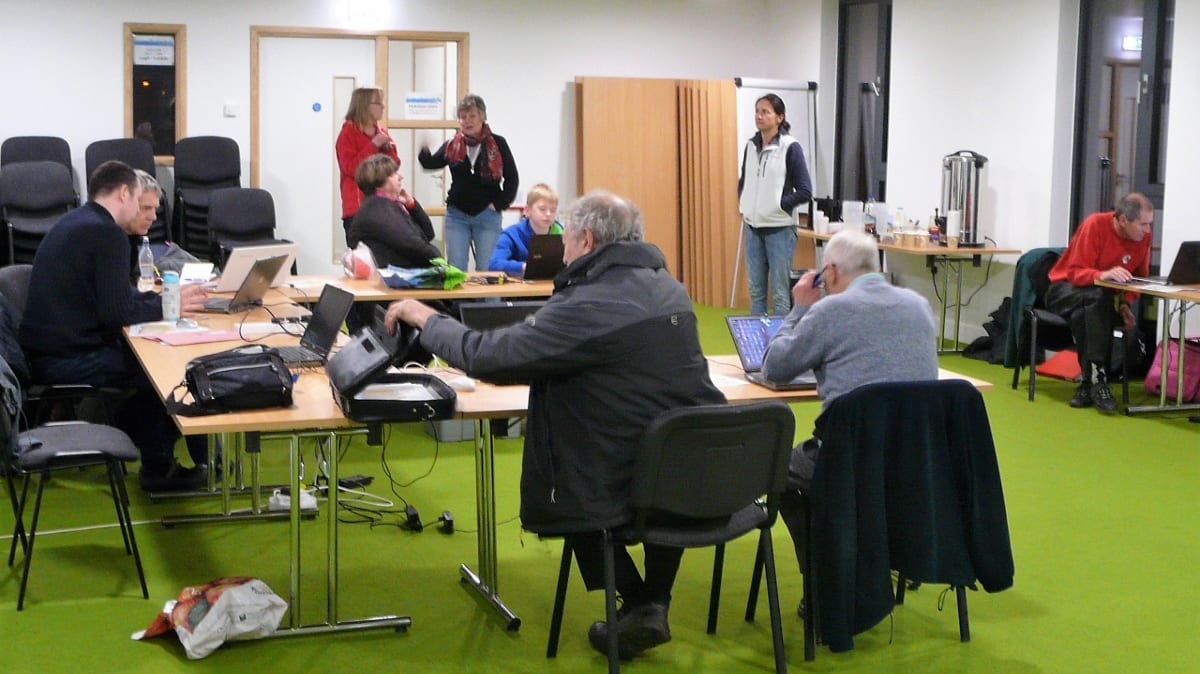
Practice and discussion
The method was used recently by Jenny West to update the Roughmoor map for October's Come and Try It (CATI) event at Silk Mills. Roger has invited those attending Thursday's course to try the method out for themselves, by doing some corrections on the Netherclay area which Andrew Page is using for Saturday's JOG. Those who do so will also be able to check their corrections against the latest map used at that JOG to see how many they "got right"!
Those attending were: John Fisher, Andrew Page, Jim Pearson, Jeff Pakes, Jenny Wood, Sheila Braine, Karen Lewis, Brian Pearson, Roger & Judy Craddock
Pictures & captions: Judy Craddock
Three Brains are Better Than One