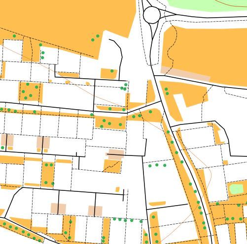
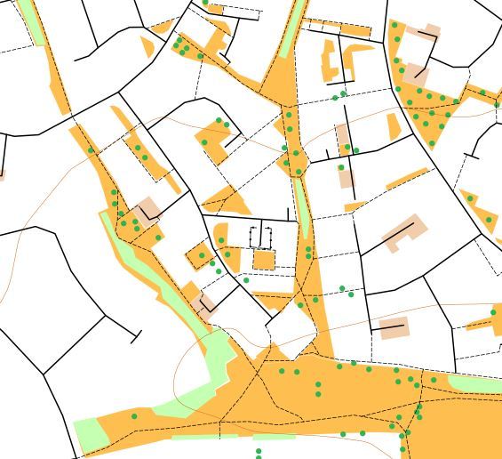
Yeovil Lyde map

Terrain Description: Urban
Map Scale: 1:5,000
Map Format: OpenOMaps
Location Info
- Nearest Town: Yeovil
- Postcode: BA21 5UA *
- Lat,Lng: 50.9562,-2.6104
- Grid Ref: ST573177
- Google Map
- Streetmap (OS 50k)
- Bing Map (OS 50k)
- OpenStreetMap
* Postcodes are not very precise in some areas, so don't rely on them for an exact location.
Images from the area
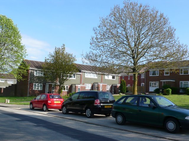
Credit: Nigel Mykura