Wind Down map

Terrain Description: Wood
Map Scale: 1:5000
Map Format: OCAD
Location Info
- Nearest Town: Bridgwater
- Postcode: TA5 2EF *
- Lat,Lng: 51.1,-3.1168
- Grid Ref: ST221343
- Google Map
- Streetmap (OS 50k)
- Bing Map (OS 50k)
- OpenStreetMap
* Postcodes are not very precise in some areas, so don't rely on them for an exact location.
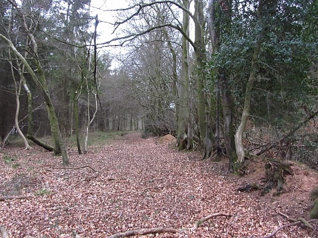
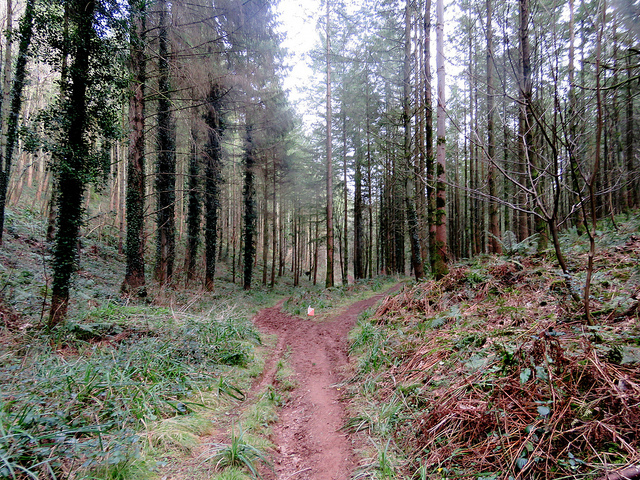
Images from the area
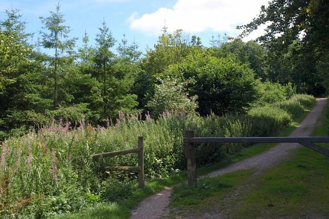
Credit: Derek Harper

Credit: John Fisher
Credit: Richard Webb
Credit: John Fisher