Wellington School map

Terrain Description: College grounds
Map Scale: 1:2000
Map Format: OCAD
Location Info
- Nearest Town: Wellington
- Postcode: TA21 8NT *
- Lat,Lng: 50.9757,-3.2263
- Grid Ref: ST140203
- Google Map
- Streetmap (OS 50k)
- Bing Map (OS 50k)
- OpenStreetMap
* Postcodes are not very precise in some areas, so don't rely on them for an exact location.
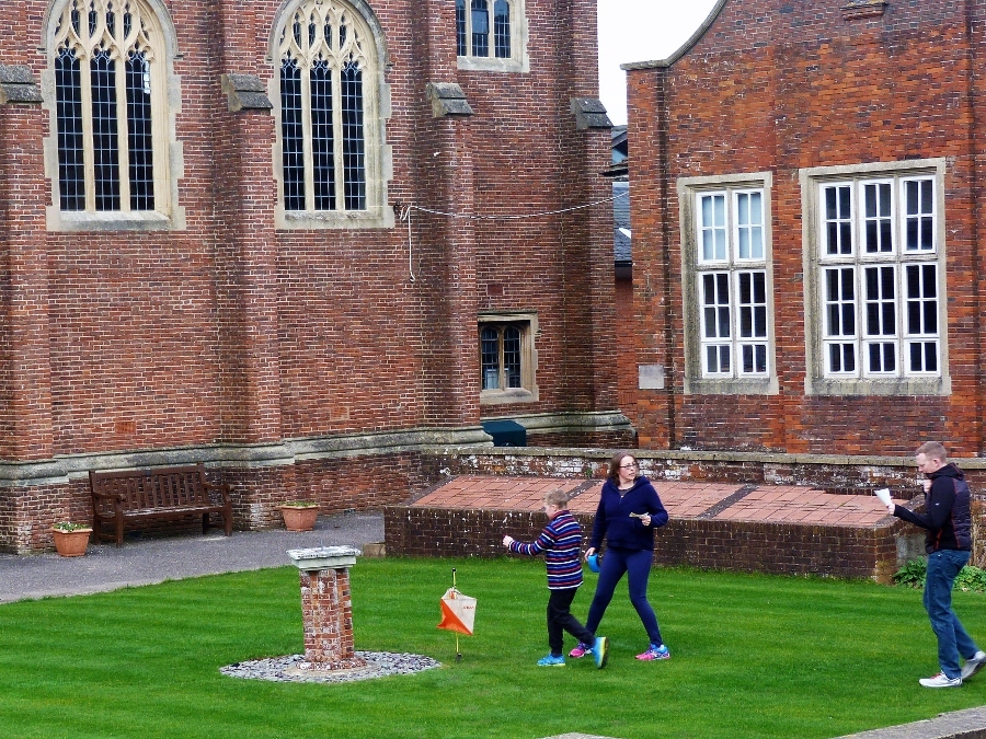
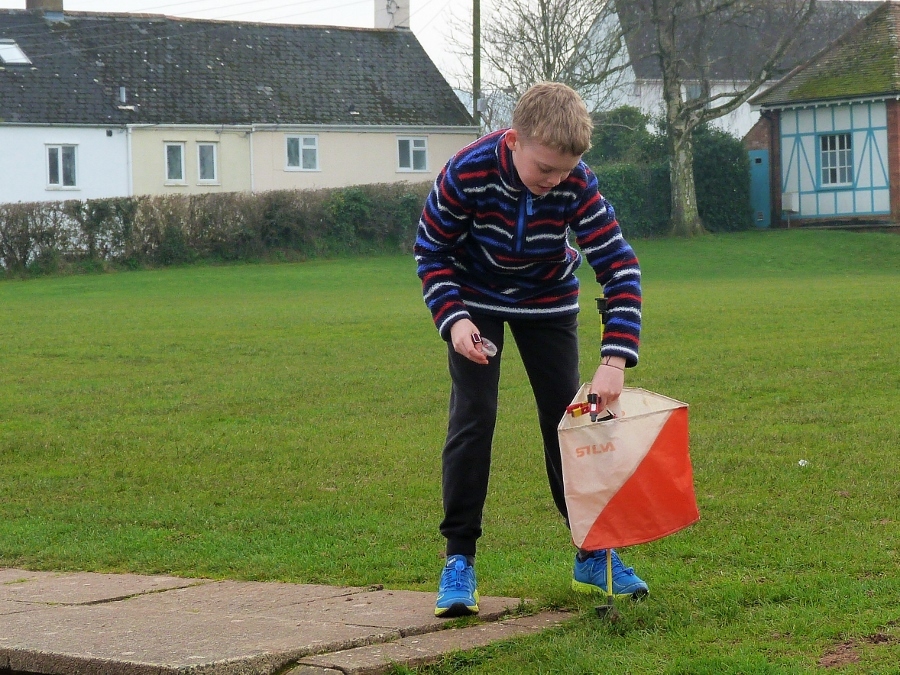
Images from the area