Staple Common map

Terrain Description: Semi-open and wood
Map Scale: 1:7500
Map Format: Other
Location Info
- Nearest Town: Staple Fitzpaine
- Postcode: TA20 3RB *
- Lat,Lng: 50.9369,-3.0488
- Grid Ref: ST264158
- Google Map
- Streetmap (OS 50k)
- Bing Map (OS 50k)
- OpenStreetMap
* Postcodes are not very precise in some areas, so don't rely on them for an exact location.
Images from the area
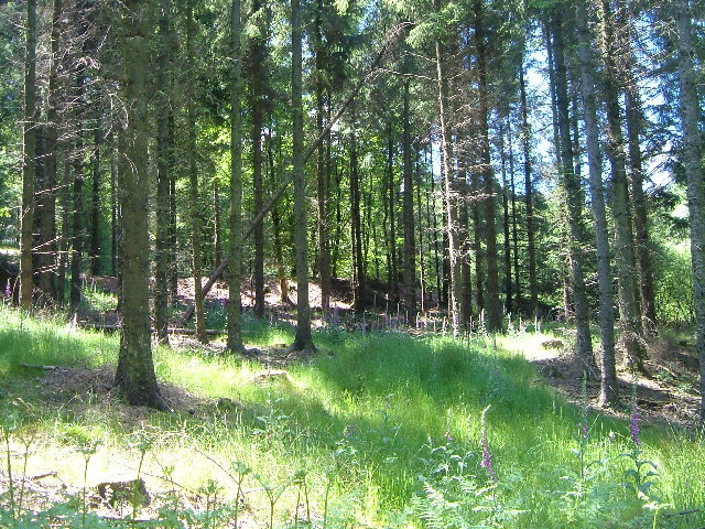
Credit: Derek Harper
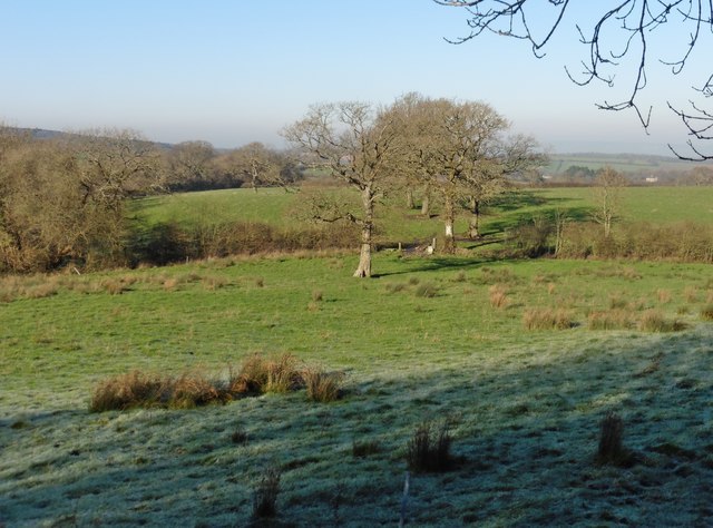
Credit: Roger Cornfoot
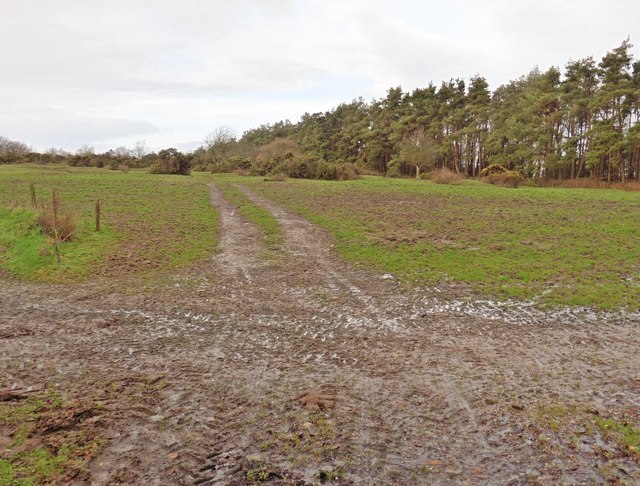
Credit: Roger Cornfoot