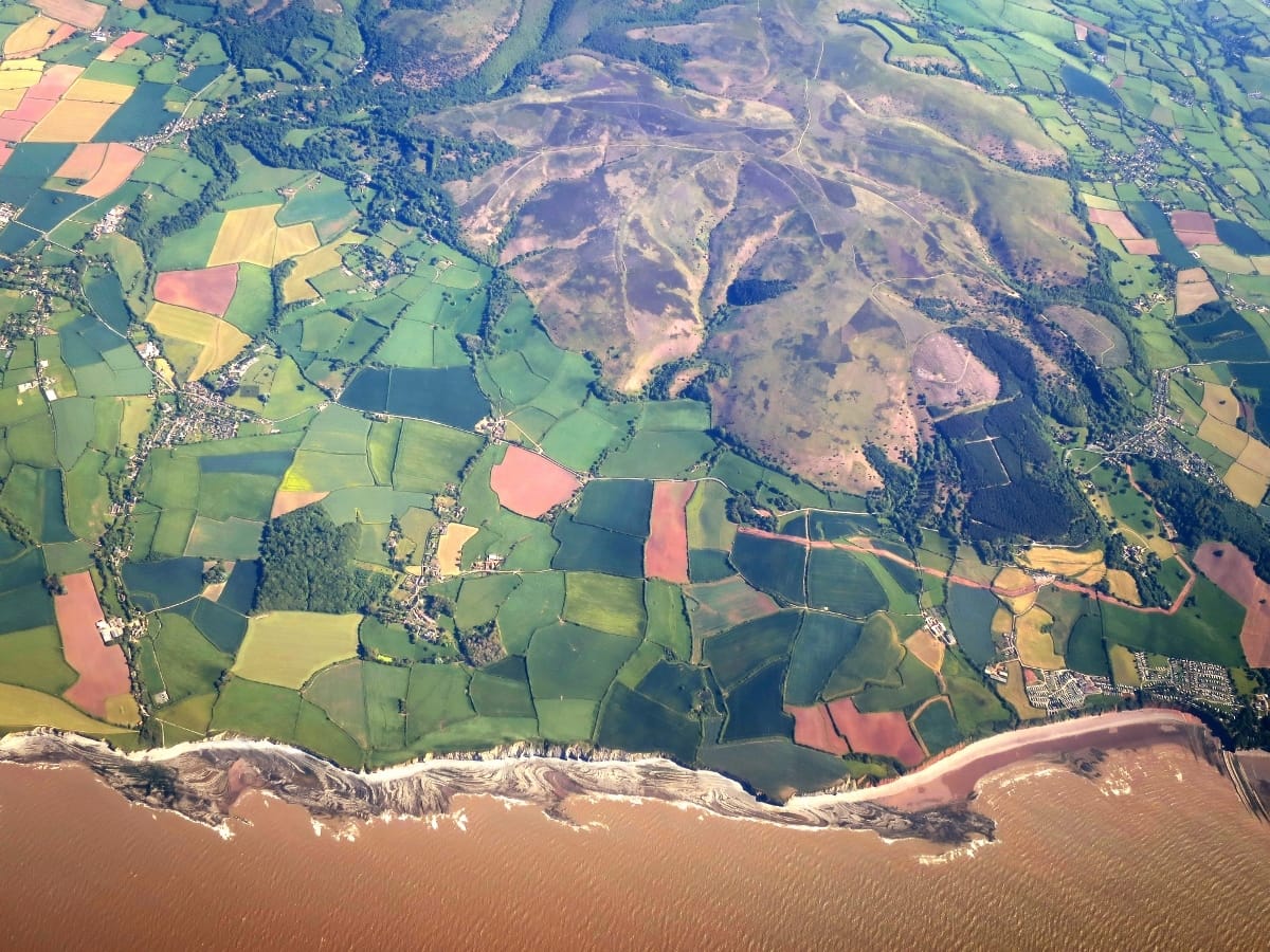
St Audries & West Quantoxhead map

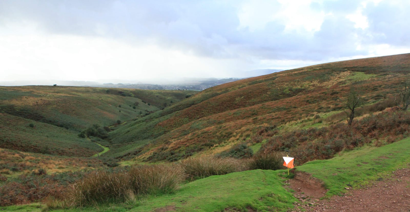
Terrain Description: Open moorland with wooded coombes
Map Scale: 1:10000
Map Format: OCAD
Location Info
- Nearest Town: West Quantoxhead
- Postcode: TA4 4DJ *
- Lat,Lng: 51.1623,-3.2642
- Grid Ref: ST117411
- Google Map
- Streetmap (OS 50k)
- Bing Map (OS 50k)
- OpenStreetMap
* Postcodes are not very precise in some areas, so don't rely on them for an exact location.
Images from the area
Credit: Adam Cli
Credit: Roger Cornfoot
Credit: Stephen Wilks
Credit: Sheila Russell
Credit: Jim Nickolls