Pyrland & Taunton Green map

Terrain Description: Urban and parkland
Map Scale: 1:5000
Map Format: OCAD
Location Info
- Nearest Town: Taunton
- Postcode: TA2 7AX *
- Lat,Lng: 51.035,-3.1019
- Grid Ref: ST227268
- Google Map
- Streetmap (OS 50k)
- Bing Map (OS 50k)
- OpenStreetMap
* Postcodes are not very precise in some areas, so don't rely on them for an exact location.
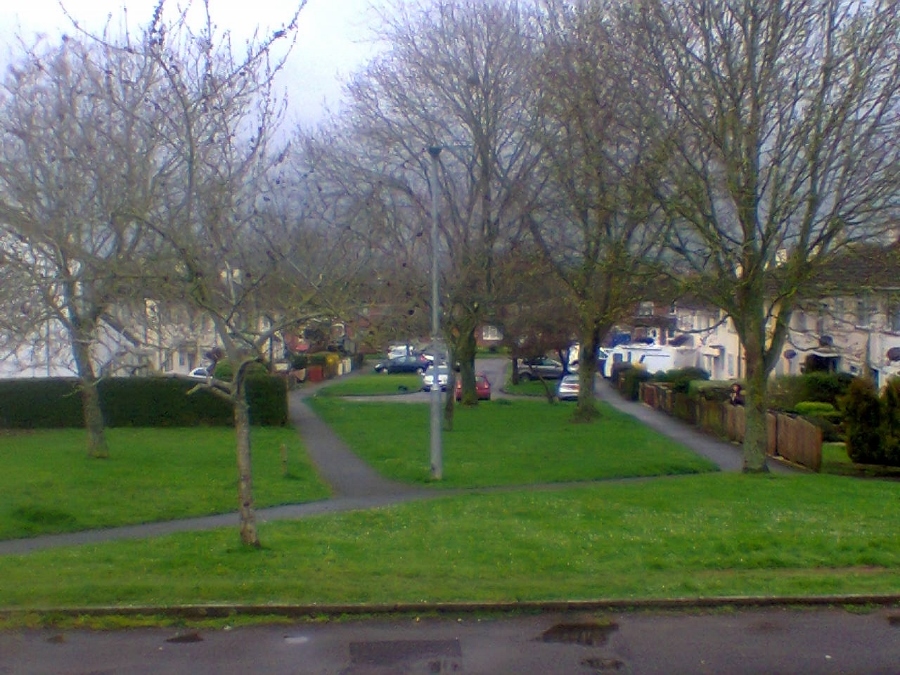
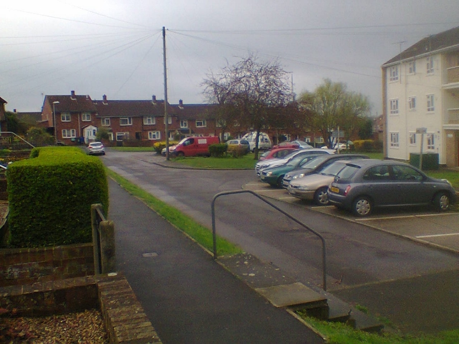
Images from the area
Credit: JP
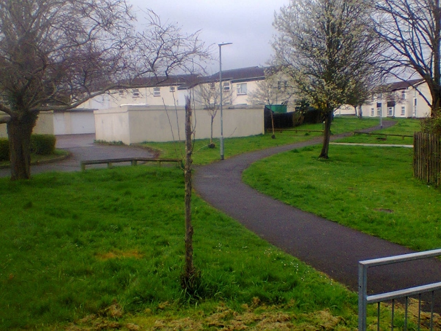

Credit: Roger Cornfoot