Malmsmead Hill & Brendon Common map

Terrain Description: Open moorland
Map Scale: 1:20000
Map Format: Other
Location Info
- Nearest Town: Malmsmead
- Postcode: EX35 6NU *
- Lat,Lng: 51.1965,-3.7531
- Grid Ref: SS776456
- Google Map
- Streetmap (OS 50k)
- Bing Map (OS 50k)
- OpenStreetMap
* Postcodes are not very precise in some areas, so don't rely on them for an exact location.
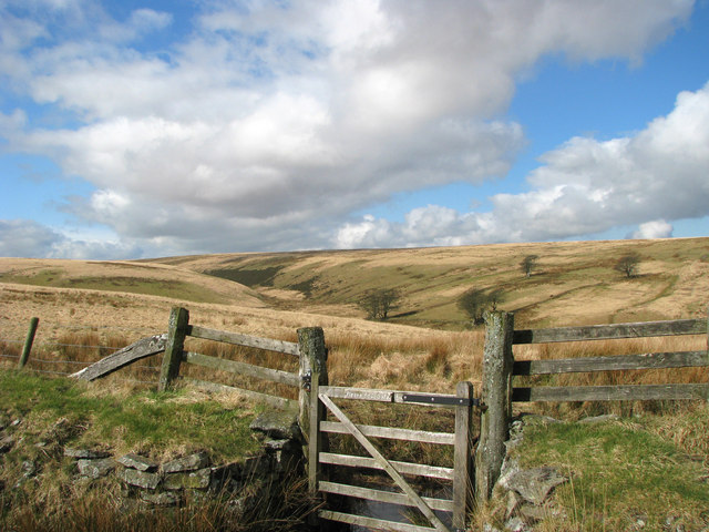
Images from the area

Credit: Martin Southwood

Credit: Roger Cornfoot
Credit: Dave Sellars