Lydeard Hill map

Terrain Description: Open moorland with wood
Map Scale: 1:5000
Map Format: Other
Location Info
- Nearest Town: Nether Stowey
- Postcode: TA4 3DY *
- Lat,Lng: 51.1021,-3.174
- Grid Ref: ST179343
- Google Map
- Streetmap (OS 50k)
- Bing Map (OS 50k)
- OpenStreetMap
* Postcodes are not very precise in some areas, so don't rely on them for an exact location.
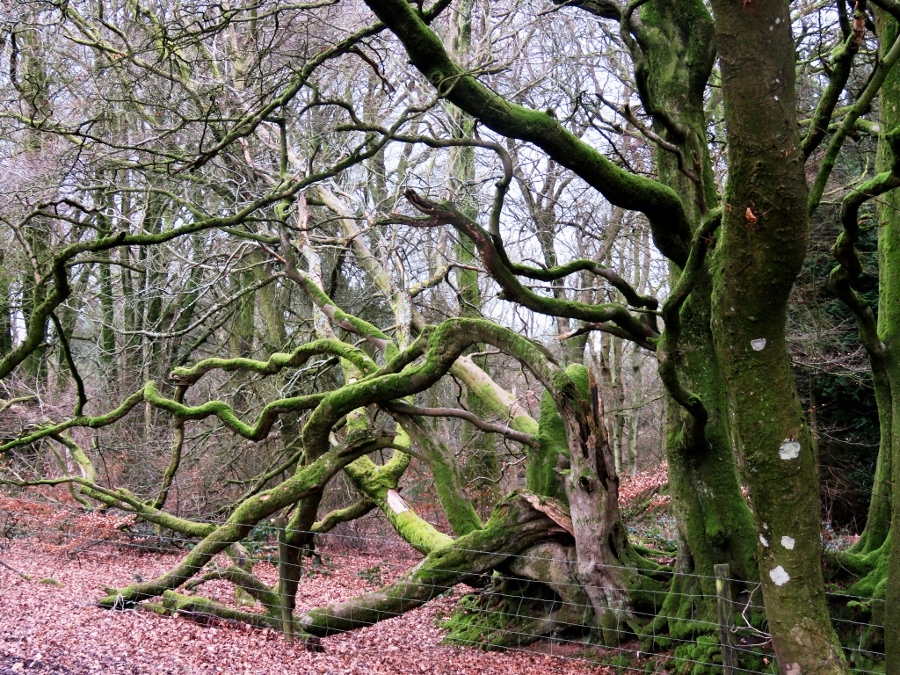
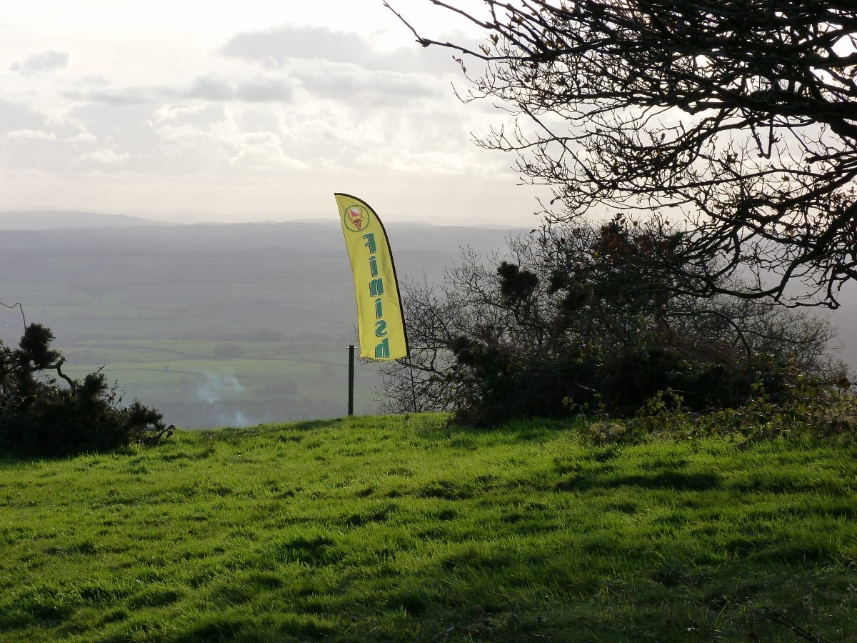
Images from the area

Credit: Jim Pearson

Credit: Derek Harper

Credit: John Fisher
Credit: Jim Pearson