Horner Wood map

Terrain Description: Wood
Map Scale: 1:20000
Map Format: Other
Location Info
- Nearest Town: Porlock
- Postcode: TA24 8LX *
- Lat,Lng: 51.1863,-3.5853
- Grid Ref: SS893442
- Google Map
- Streetmap (OS 50k)
- Bing Map (OS 50k)
- OpenStreetMap
* Postcodes are not very precise in some areas, so don't rely on them for an exact location.
Images from the area
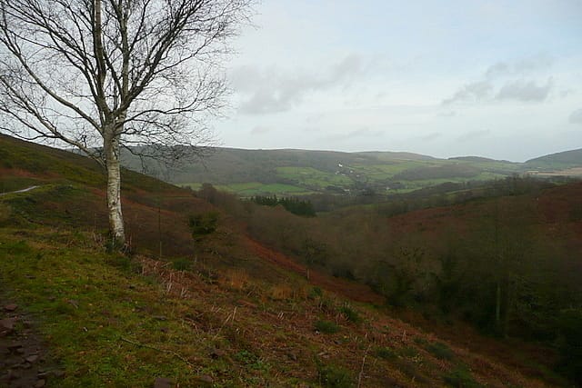
Credit: Graham Horner
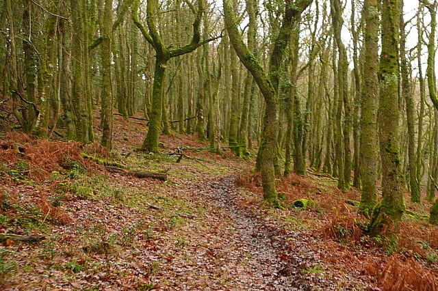
Credit: Graham Horn
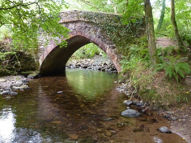
Credit: Maurice D Budden
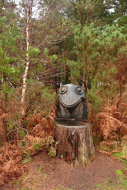
Credit: Graham Horn