Great Headon & Wootton Common map

Terrain Description: Wood
Map Scale: 1:15000
Map Format: Other
Location Info
- Nearest Town: Minehead
- Postcode: TA24 8QX *
- Lat,Lng: 51.1856,-3.5038
- Grid Ref: SS950440
- Google Map
- Streetmap (OS 50k)
- Bing Map (OS 50k)
- OpenStreetMap
* Postcodes are not very precise in some areas, so don't rely on them for an exact location.
Images from the area
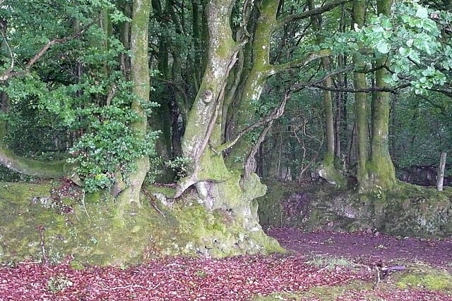
Credit: Graham Horn
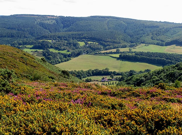
Credit: Pam Brophy
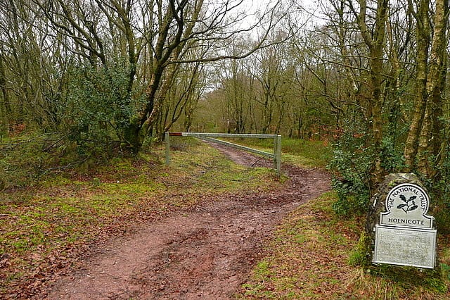
Credit: Graham Horn