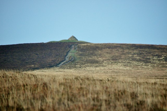
Dunkery & Wilmersham map

Terrain Description: Open moorland and hilltop
Map Scale: 1:20000 tbc
Map Format: Other
Location Info
- Nearest Town: Exford
- Postcode: TA24 7AT *
- Lat,Lng: 51.1628,-3.5867
- Grid Ref: SS892416
- Google Map
- Streetmap (OS 50k)
- Bing Map (OS 50k)
- OpenStreetMap
* Postcodes are not very precise in some areas, so don't rely on them for an exact location.
Images from the area
Credit: Lewis Clarke