Doone Country map

Terrain Description: Open moorland with some partially wooded valleys
Map Scale: 1:20000
Map Format: Other
Location Info
- Nearest Town: Malmsmead
- Postcode: *
- Lat,Lng: 51.1902,-3.71
- Grid Ref: SS820428
- Google Map
- Streetmap (OS 50k)
- Bing Map (OS 50k)
- OpenStreetMap
* Postcodes are not very precise in some areas, so don't rely on them for an exact location.
Images from the area
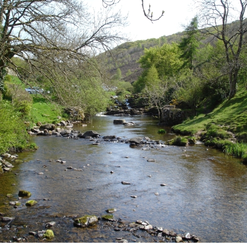
Credit: The campsite website
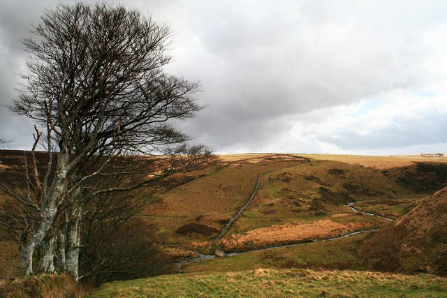
Credit: Dave Sellers
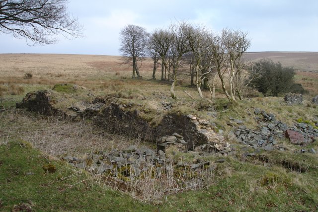
Credit: Martin
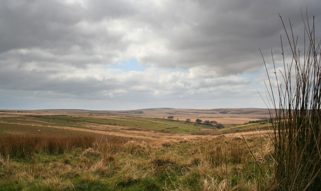
Credit: Dave Sellars