Croydon Hill Deer Park map

Terrain Description: Mixed open and woodland
Map Scale: 1:10000
Map Format: OCAD
Location Info
- Nearest Town: Dunster
- Postcode: TA24 6SR *
- Lat,Lng: 51.172,-3.4472
- Grid Ref: SS978423
- Google Map
- Streetmap (OS 50k)
- Bing Map (OS 50k)
- OpenStreetMap
* Postcodes are not very precise in some areas, so don't rely on them for an exact location.
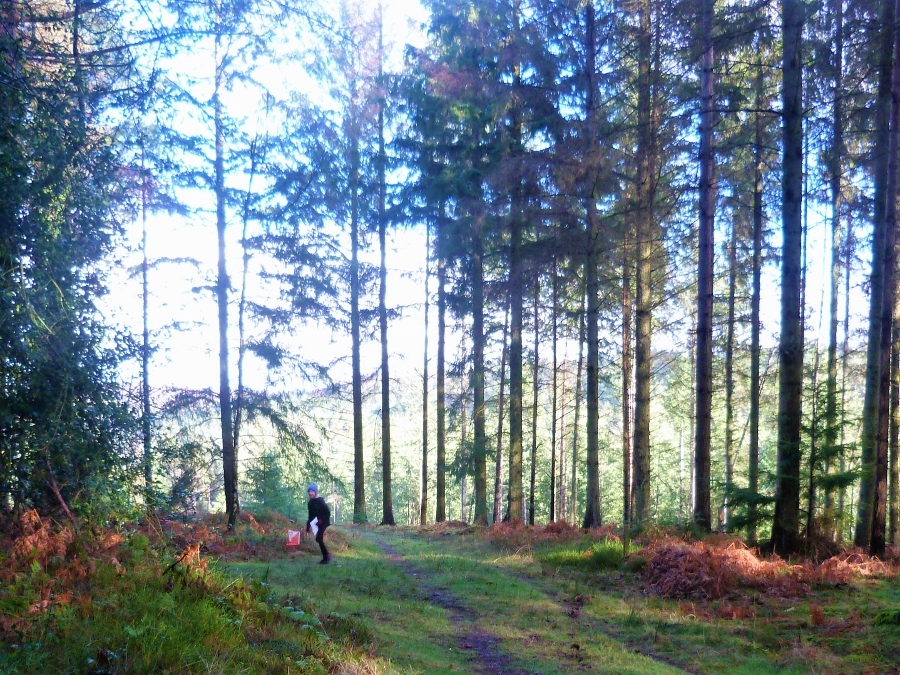
Images from the area
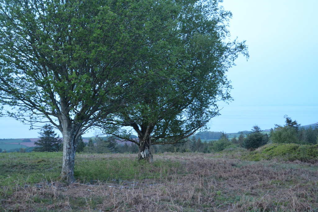
Credit: Lewis Clarke
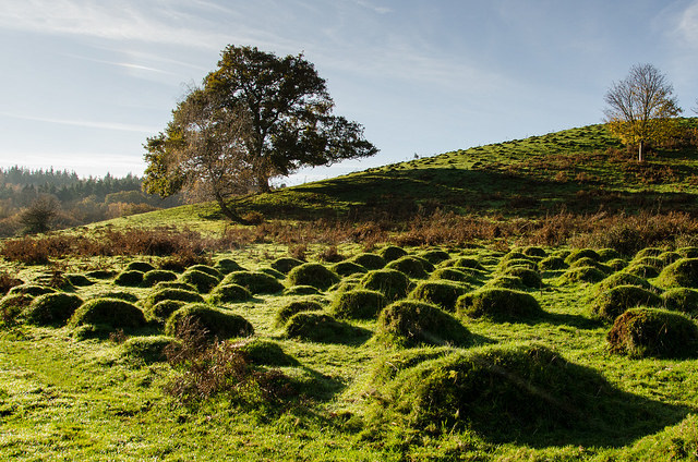
Credit: Nigel Stone

Credit: Roger Cornfoot
Credit: Jim Pearson