Galmington & Comeytrowe map

Terrain Description: Residential streets & parkland on the favoured South West side of Taunton.
Map Scale: 1:7,500
Map Format: OCAD
Location Info
- Nearest Town: Taunton
- Postcode: TA1 4TY *
- Lat,Lng: 51.0053,-3.121
- Grid Ref: ST214235
- Google Map
- Streetmap (OS 50k)
- Bing Map (OS 50k)
- OpenStreetMap
* Postcodes are not very precise in some areas, so don't rely on them for an exact location.
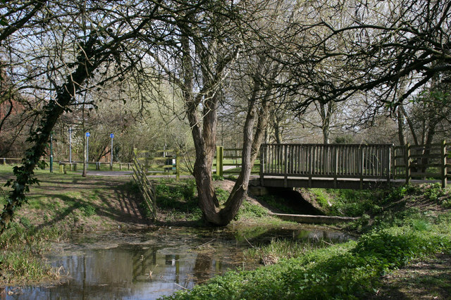
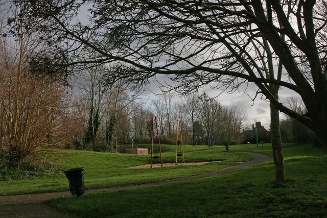
Images from the area
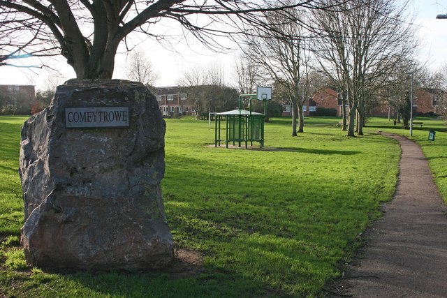
Credit: Nick Chipchase

Credit: Nick Chipchase
Credit: Nick Chipchase

Credit: Nick Chipchase

Credit: NickChipchase1227685
Credit: Nick Chipchase