Castle School, BAT College & environs map

Terrain Description: College grounds & urban
Map Scale: 1:5000
Map Format: OCAD
Location Info
- Nearest Town: Taunton
- Postcode: TA1 5AX *
- Lat,Lng: 51.0154,-3.1176
- Grid Ref: ST217246
- Google Map
- Streetmap (OS 50k)
- Bing Map (OS 50k)
- OpenStreetMap
* Postcodes are not very precise in some areas, so don't rely on them for an exact location.
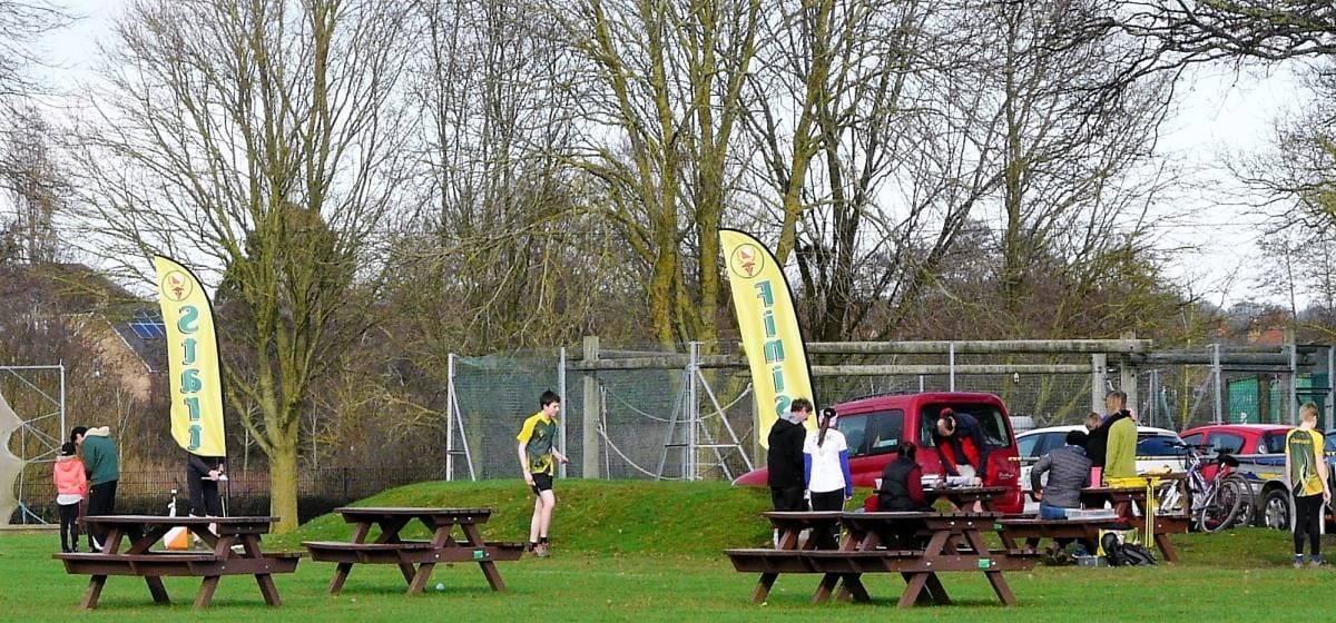
Images from the area

Credit: Derek Harper
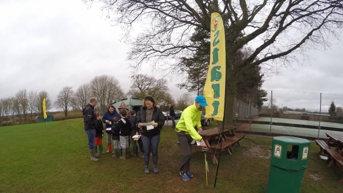
Credit: V Page
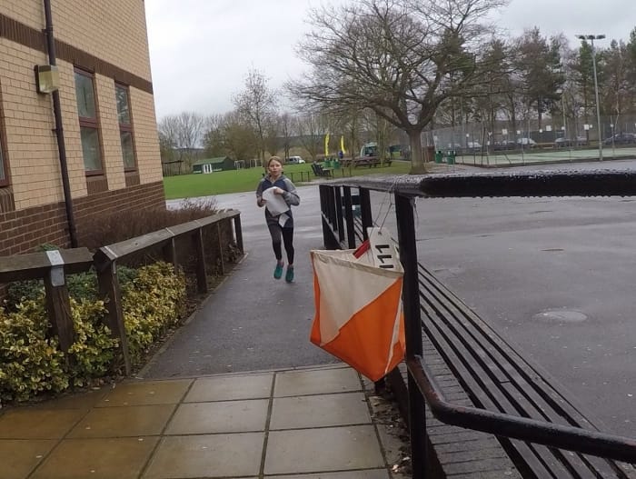
Credit: V Page
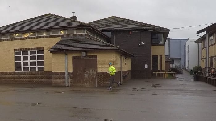
Credit: V Page