Aisholt Common map

Terrain Description: Mixed: mainly semi-open with scattered trees
Map Scale: 1:10000
Map Format: OCAD
Location Info
- Nearest Town: Aisholt
- Postcode: TA5 1HJ *
- Lat,Lng: 51.1157,-3.1682
- Grid Ref: ST180353
- Google Map
- Streetmap (OS 50k)
- Bing Map (OS 50k)
- OpenStreetMap
* Postcodes are not very precise in some areas, so don't rely on them for an exact location.
Images from the area
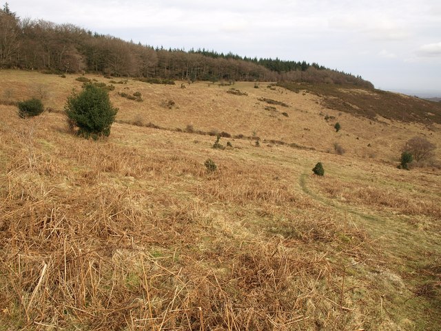
Credit: Derek Harper
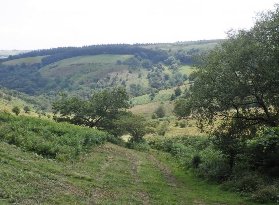
Credit: Roger Cornfoot