The event is open throughout November and most of December. It is a GPS punching event using MapRun (like our Street Series and this season's JOG activities).
Due to the November Lockdown, the closing date was moved into December to allow more people to travel to do it.
Entry Details
Entries are now closed. However, you can still run the courses as a virtual permanent orienteering course. Maps can be downloaded from British Orienteering.
Show Pre-Event Info
Directions / Parking
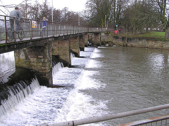
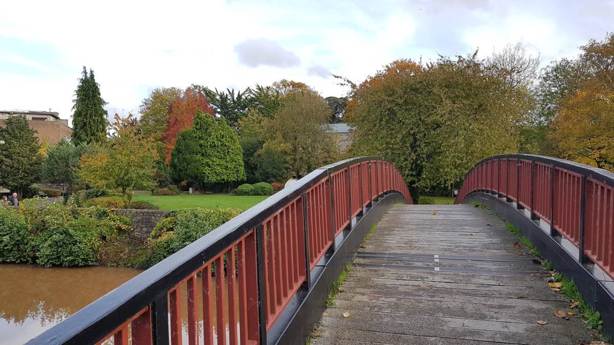
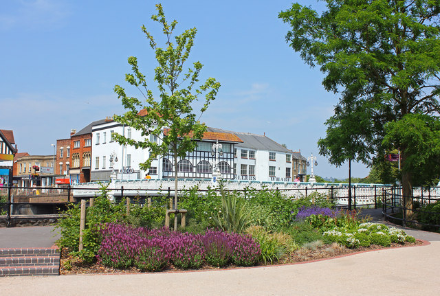
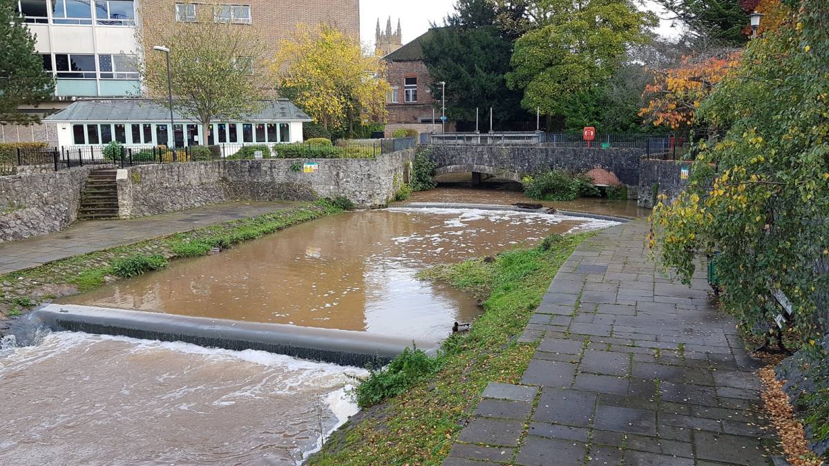
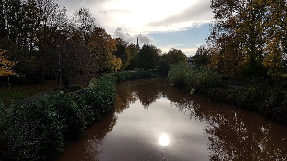
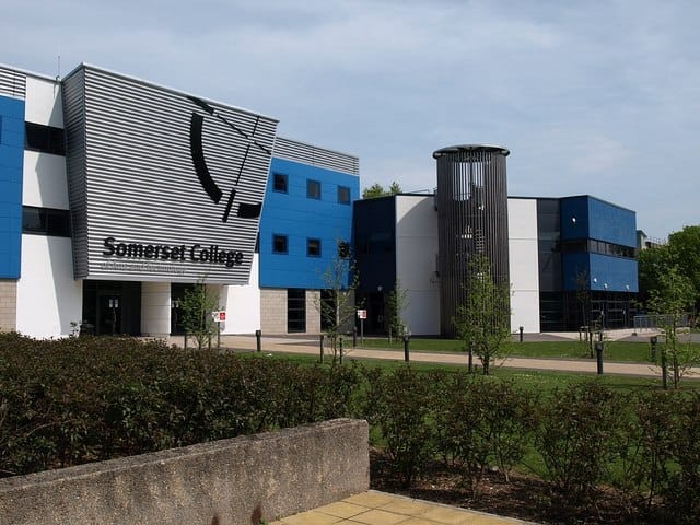
Sited on the western side of Taunton, it is easily accessible on foot from anywhere in the town. Parking is possible at the Tangiers carpark and sometimes behind Somerset College. If you combine it with a shopping trip, there is always Tescos.
Start and finish is at The Weir Cafe / COACH Building, Taunton, Somerset, TA1 1AW
Course Information
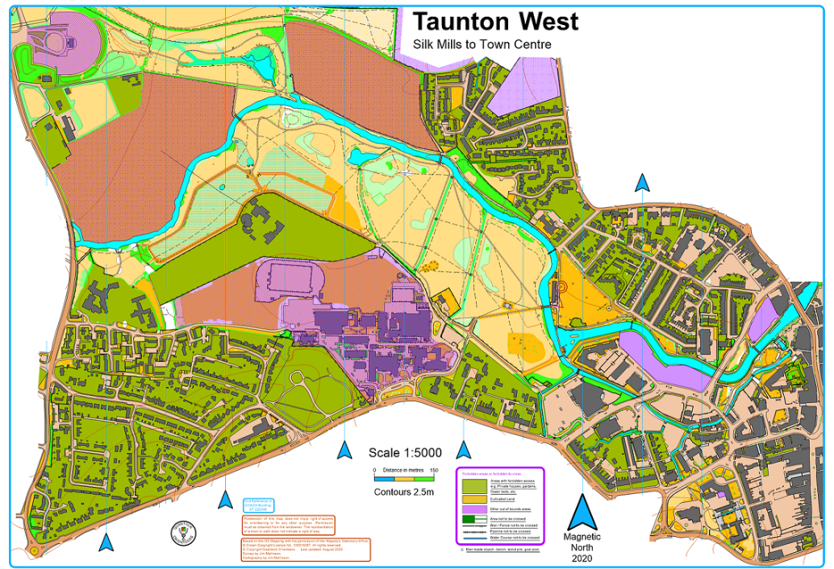
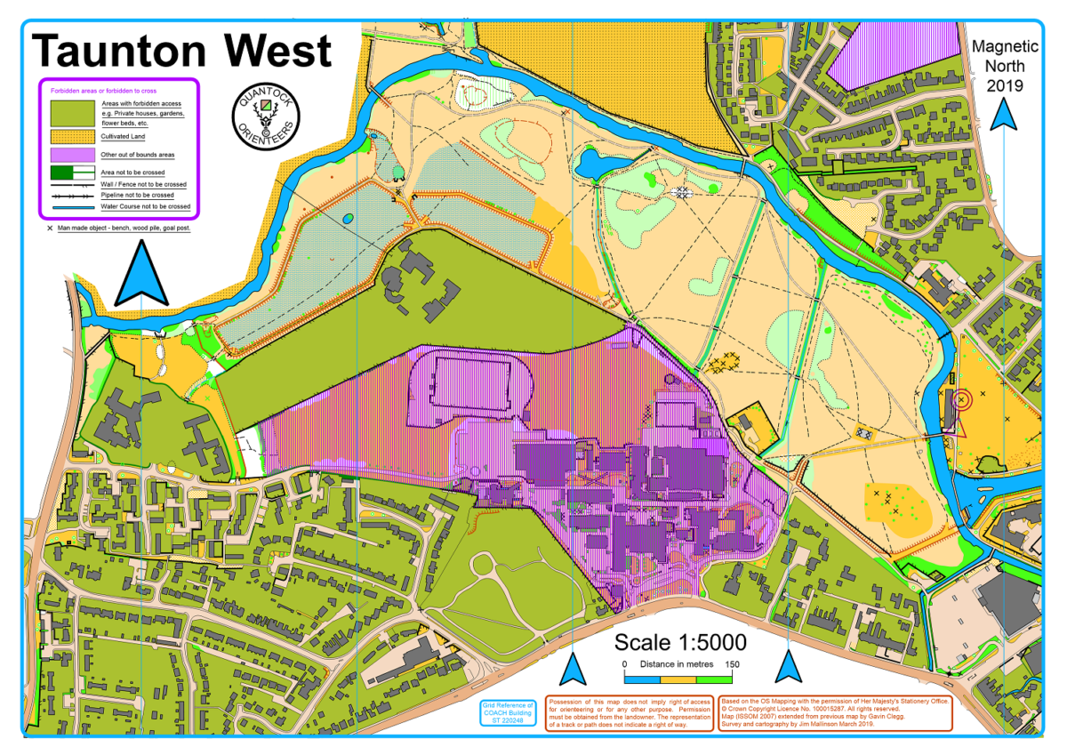
All courses are mapped at 1:5000 to ISSprOM 2019 standard. See the image gallery at the bottom to see the blank maps.
Ultra-short
c2km - traffic-free urban parkland - A4 map
M/WYJ M/WJ M/WHV
Short
c3.5km - traffic-free urban parkland and some residential streets - A4 map
M/WUV WSV
Medium
c5.5km - residential streets, central urban, and urban parkland - A3 map
WO M/WV MSV
Long
c7.5km - residential streets, central urban, and urban parkland - A3 map
MO
Registration & Start Times
All competitors who want their run to count for the league must register for free on the SEGOL website by the closing date of the first event they take part in.
You can start any time between the starting and closing date of the event. We would recommend that you avoid busy shopping times to help with social distancing (and potentially speed your run up).
Terrain Description
Mixture of residential streets, central urban, and urban parkland - see course information for specifics on each course.
Leg covering not required. We advise you wear bright colours to be more easily seen by drivers.
Refreshments
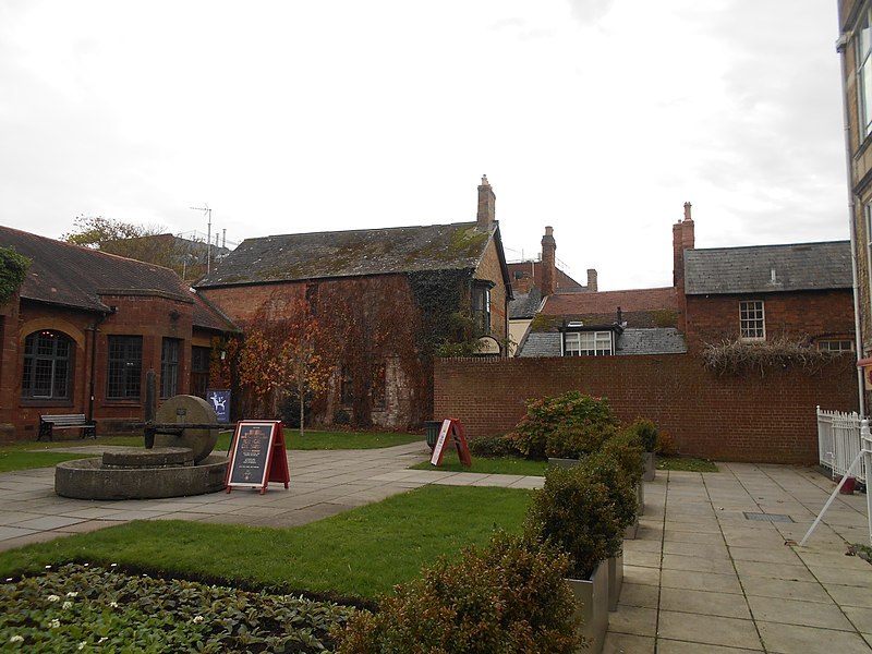
The courses start and finish right next to the wonderful The Weir Cafe. The light meals and cakes are a favourite with runners after Parkrun or urban orienteering events.
GPS Signal
All controls have been checked by at least two devices on different days. However, your device or the weather conditions or time of day might mean that a control doesn't register. If you know you're at the right place and have waited a couple of seconds for your GPS track to catch up with you, just move on. We will manually review every track and retrospectively award controls missed by the GPS.
Event Class
This event does not count for national ranking. It is only marked as Regional to indicate that it is part of a Southern England league.
Contacts / Officials
Planner: Alasdair Shaw chair@
Controller: Roger Craddock president@
Organiser: Judy Craddock membership@
Important Event Information
Insurance: Please note: Participants who are not members of British Orienteering are not covered by British Orienteering’s public liability insurance. By entering this event, you acknowledge that you are taking part at your own risk. For example, if you were to accidentally injure a member of the public or damage property during the event, you would not be covered.
Safety and Risk: A comprehensive risk assessment will have been carried out by the organiser, but participants take part at their own risk and are responsible for their own safety during the event. All participants must report to download whether they finish their course or not.
Privacy: when participating in our events/activities your name may appear in the results section of this website or in newspaper reports. Read our data protection page to see how we look after your personal data.
Photography: QO has an agreed policy on the taking of photographs at events, based on national guidance. This provides a sensible balance between the benefits and risks associated with the taking and use of images. If you are unsure about acceptable practice, please speak to the event organiser. Photos taken may be retained beyond the 2 year window for legacy purposes.
Safeguarding: QO is aware of it's responsibilities in safeguarding and child protection. To comply with The Child Safeguarding Practice Review and Relevant Agency (England) Regulations 2018, we now provide an email address for individuals to report concerns to the Lead Safeguarding Officer. This address is safeguarding@britishorienteering.org.uk.


