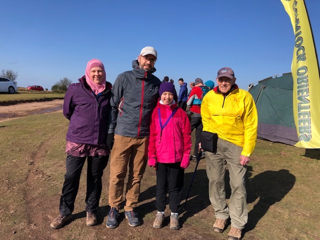
The best bit of the Quantocks?
Wonderful views and atmosphere besides good runnability, technical terrain and no fences or out of bounds areas. Plus it was your last-but-one chance this season to add to your league scores.
Anyone who has done one of the Quantock Challenges would have known this area as it is where the start and finish were.
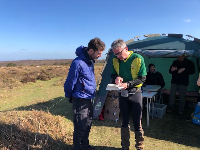
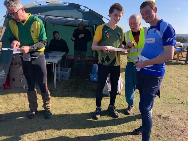
Organiser comments from Karen:
Thank you to all that turned up for this event. As organiser, I am going to take all the credit for arranging the superb weather.
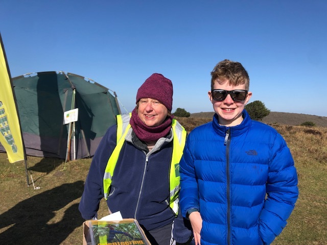
Despite a struggle to get a full complement of helpers and having to ask other teams to contribute, it all went very well on the day. My main concern was the condition of the parking and the number of spaces available to us – the ground was very soft a week before. I didn’t need to worry, it was well covered and Mike even managed to get dog walkers to join in.
Thanks again to all the helpers, the event was a success as a result of you guys.
The half time entertainment – the young farmers drive by in their tractors with all manner of horns blaring was a great addition to the day.
Hope you all enjoyed your run and that Pete’s courses lived up to expectations.
Planner comments from Pete:
6.5 years ago my boys and I took part in our 1st orienteering event at Wilmots pool so it was great to have the opportunity to plan my 1st QOFL event there too! I would like to apologise for the long leg of the blue course being too near the edge of the map, an unfortunate oversight during the very last stage of cropping the courses to suit the paper size. Lot's of lessons learned will hopefully improve my next planning role and optimistically my future race days too 🤞
Show Pre-Event Info
Forest League 2021/22 Series Info
A local event open to all, beginner or experienced orienteer, young or old and there are colour-coded courses suitable for all.
We have six of these events a year and together they form the Forest League (QOFL). The series starts in the Autumn and continues at approximately one event per month until the spring.
Anyone can get a result for an event, but for it to be included in the league scoring you have to be a member of a British Orienteering affiliated club at the time of entry.
Fixture list
Code of Conduct
Please make sure you have read and comply with the Participant Code Of Conduct and, if applicable, the Parent Code Of Conduct.
Directions / Parking
Signed from the A358 at Crowcombe and the A39 east of Nether Stowey.
Parking: the primary car park will be on a rough / uneven, off-road area to the North of the road running from Crowcombe Park Gate and Dead Woman's Ditch. Please see the parking plan in 'Photo Gallery' further below.
A parking marshal will direct you where to park, in order that we maximise the area available to us.
An overflow car park P2 is available at Dead Woman's Ditch 600m from assembly/Start/Finish. The parking attendant will see competitors across the road.
There is further parking at P3 but being a small event it's not anticipated we'll need it.
Course Information
Suitable for all ages and abilities.
Final courses:
| Course | Length | Climb |
|---|
| Blue
| 5.5 k
| 365 m
|
| Green
| 4.2 k
| 210 m
|
| Short Green
| 2.8 k
| 140 m
|
| Light Green
| 3.0 k
| 125 m
|
| Orange
| 2.7 k
| 85 m
|
| Yellow
| 2.2 k
| 70 m
|
| White
| 1.8 k
| 35 m
|
Planning suitable courses without climb is challenging in this area but length and climb have been kept in line with the 2018 event (link here)
Yellow and Orange skirt round the top of the coombes, Light and Short Green use shallower slopes than Green. Two legs on Short Green are steep but this can be mitigated by taking a longer route. Only on Blue are the steepest slopes encountered.
No course has any more than 12 controls.
The Start is adjacent to the primary car park and the Finish 100m away.
Entry Details
Pre-entry closes on Friday 25 February.
Please note that if you enter on the day you run the risk that we have run out of maps for your preferred course.
Pre-enter
| Class | Pre-entry | On the day entry |
|---|
| Senior
| £8
| £9
|
| Senior Novice
| £3
| £4
|
| Junior
| £3
| £4
|
| Group
| £9
| £10
|
- Junior - anyone 21 years or younger at the time of the event, regardless of the course they are running.
- Senior novice - an adult running White or Yellow.
- Group - all going round a course together, two maps provided.
An SI dibber can be hired for £1. Failure to return it will incur the cost of a replacement (£30).
Please consider buying a pack of pre-entry credits in advance. This costs you the same but saves the club a lot in credit card fees.
Buy Credits
Electronic timing
SI will be used but contactless punching (SIAC) will not be enabled.
Registration & Start Times
Registration close to main parking area.
| Event | Time |
|---|
| Start opens
| 1100
|
| Start closes
| 1300
|
| Courses close
| 1500
|
Helpers can start from 1045 - remember to get your discount code from the organiser before entering.
Terrain Description
Ancient woodland gradually descending into deep coombes and rising to a hill fort. Good runnability throughout. Generous amount of point features, mostly being platforms (once used for charcoal burning). There are also cairns, pits, depressions and hides. Open heathland to south with a good path network, gullies and ditches. No fences.
Dog restrictions
Well behaved dogs under close control are allowed
Safety
| Required? |
|---|
| leg covering
| yes
|
| waterproofs
| depends on weather
|
| whistle
| yes
|
| U16 accompanied by responsible adult
| no
|
| reflective clothing required | no |
| headtorch required | no |
The slopes are at present very slippy in places so please wear suitable footwear, with studs or a good grip.
All courses use at least part of the open heathland, which is the highest part of the competition area and exposed to the weather.
The competition area is bound to the East and South by the road you arrived by and to the South West by a fence alongside a prominent track. There are no road crossings.
Map
Scale: 1:10k for Orange upwards. 1:5k for White and Yellow.
Not all small paths and animal tracks are marked on the map, only those expected to be permanent.
You should not rely on the edges of the vegetation as mapped for navigational purposes. The mapped vegetation does gives an indication of general runnability though.
Produced in OCAD.
Contacts / Officials
Planner: Pete Shirvington captain@
Organiser: Karen Lewis secretary@
Controller: Jeff Pakes 01823 353855 volunteers@
Important Event Information
Insurance: Please note: Participants who are not members of British Orienteering are not covered by British Orienteering’s public liability insurance. By entering this event, you acknowledge that you are taking part at your own risk. For example, if you were to accidentally injure a member of the public or damage property during the event, you would not be covered.
Safety and Risk: A comprehensive risk assessment will have been carried out by the organiser, but participants take part at their own risk and are responsible for their own safety during the event. All participants must report to download whether they finish their course or not.
Privacy: when participating in our events/activities your name may appear in the results section of this website or in newspaper reports. Read our data protection page to see how we look after your personal data.
Photography: QO has an agreed policy on the taking of photographs at events, based on national guidance. This provides a sensible balance between the benefits and risks associated with the taking and use of images. If you are unsure about acceptable practice, please speak to the event organiser. Photos taken may be retained beyond the 2 year window for legacy purposes.
Safeguarding: QO is aware of it's responsibilities in safeguarding and child protection. To comply with The Child Safeguarding Practice Review and Relevant Agency (England) Regulations 2018, we now provide an email address for individuals to report concerns to the Lead Safeguarding Officer. This address is safeguarding@britishorienteering.org.uk.