Taunton North
MapRun3
Fri 8 Mar
Near: TauntonLevel of event: Local
Type of event: Race, Social, Urban, Night

Routes are now visible (example)
Type of event: Race, Social, Urban, Night
Routes are now visible (example)
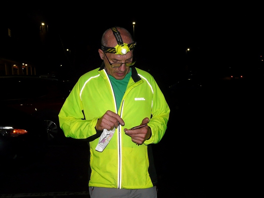
Stephen ready for action
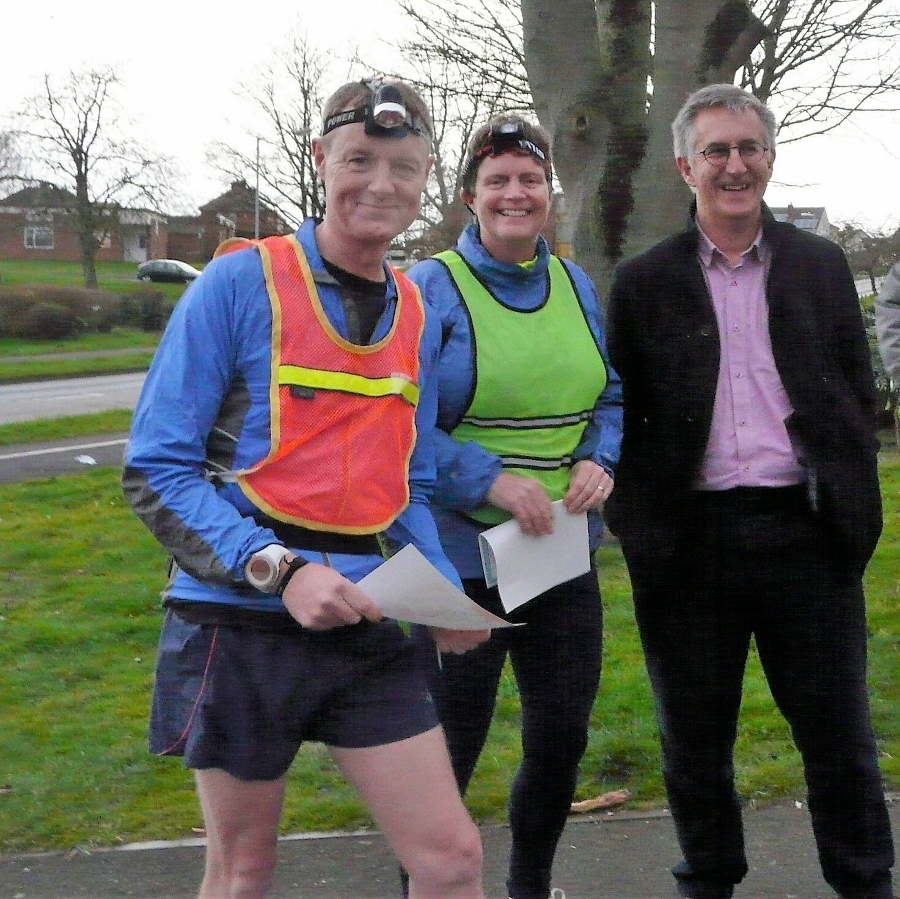
Visitors from Devon OC the Reynolds join regular MapRunner Graham H
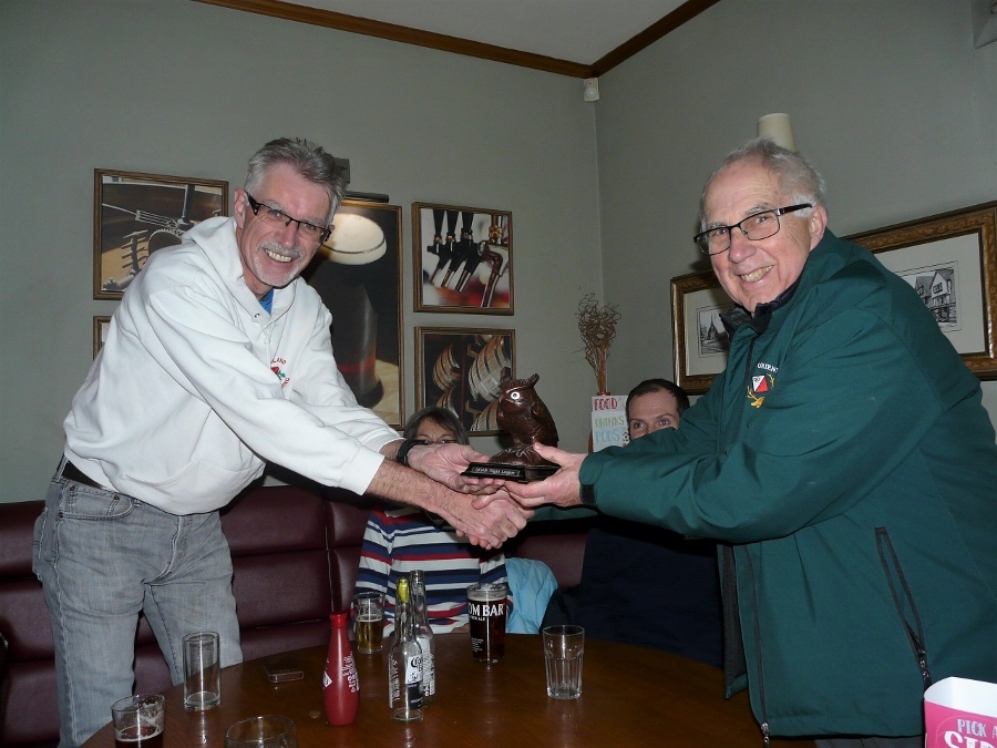
Gavin regains the Night Owl trophy (Roger doing the presenting)
Directions - easily accessed from the A38 to the south.
Parking- at Priorswood Place public car park, which offers 3 hours' free parking. The car park is usually only half full on Friday evenings but there are also spaces on adjoining residential roads.
Follow Eastwick Road south (not west), bringing you to the O'Bridge roundabout. There's usually plenty of parking spaces behind the Premier Inn next door.
There will be free WiFi for the all-important analysis of routes and results.
There is no free WiFi at this week's Start. Please aim to upload the courses onto your phone before you turn up.
Look for: Taunton N long a3.4 and Taunton N short a3.4.
Both are "Score" courses, meaning there isn't a set order to the controls you visit. They two use exactly the same controls.
Short Score- the order of the controls you want to visit is entirely up to you.
Long Score- there are two sets of controls, one set tackled after the other. Once you switch to the second set, you cannot go back to the first set.
The optimum routes are quite short, roughly the same length as for the Yeovil courses at 6.5km for the Short and 8.7km for the long.
The long course has already been test run by NGOC's John Miklausic, who took just over 50mins to score the maximum points.
Each course has a time limit of 50 minutes.
The app will deduct 30 points per minute for each minute or part minute you're late back.
Points values for controls are variable and denoted by the first number of the control, e.g. 62 scores 60 points.
The control circles on the map are coloured red on one set and blue on the other- the colours are meaningful only for the Long score.
There are 11 of each colour this evening but each red (total = 600) is generally worth more than a blue (total =400) because the reds are the outlying controls.
For those who took part in our QOADs series, the Long score uses essentially the same scoring system.
Link: more on the scoring systems
If you score maximum points, when we calculate the league scores you will earn a 20 points bonus for each full minute you take under the time limit.
A factor (tonight: 70%) will be applied to the short course to equate it with the long course, this factors in the course lengths and difficulty level.
Your phone should beep when you get within 10m of the "control".
Occasionally, your GPS signal may drift- you may have to wait a few moments for it to 'catch up'.
Our GPS controls tend to be located on lamp posts where the GPS controls work well. Wooden telegraph poles, signs and other street furniture, fences, bridges and play or sports equipment in parks may also be used. Those controls that are not on lamp posts will be listed on the map and on control description sheets.
There are three controls (30, 37 and 48) which have not been shown precisely on the map. Just run to the nearby feature in your control descriptions in each case!
If you're sure you've been at the control without getting a 'buzz', move on quickly to the next one. "Near misses" are easily detectable on Routegadget and we will award you the points afterwards. The exception is if you're running the Long course, both when you start and you're 'telling' the app which colour you're selecting and when you move to the next colour you need to string two together.
Further details provided at the start.
Suburb of Taunton with good variation in terrain (and gradient) and a good path network, plenty of open green space, three parks and a couple of country lanes and footpaths.
Scale is 1:7500.
Featuring the suburbs of Priorswood and Pyrland.
There are busy main roads bounding the area but there should be no need to cross them.
Within the area being used, there are some moderately busy roads, Cheddon Road to the west and Eastwick Road in the middle. Please take extra care crossing these roads and consider using the crossing points marked on the map.
Priorswood Road (A3259) is a busy road with a 40mph limit to the east. It is marked out of bounds, and that includes the grass verges and bits of pavement alongside it.
The area is hilly to the north. There is an abundance of steps, steep grassy banks and raised walkways, all to be negotiated carefully. Victory Road to the west of and adjacent to Lyngford Park (near the Start) has some particularly steep drops.
Lyngford Lane, running north from the shopping precinct, is a single track country road with some blind corners and high hedge sides. Use with care.
The brook in Lyngford Park (that lies across the road from the start/finish) is unmapped. A control lies nearby. Please take care.
One possible route to the NE uses a public footpath through and alongside farm land. It is muddy and slippy in parts.
Planner: Jeff Pakes 01823 321900 website@
Insurance: Please note: Participants who are not members of British Orienteering are not covered by British Orienteering’s public liability insurance. By entering this event, you acknowledge that you are taking part at your own risk. For example, if you were to accidentally injure a member of the public or damage property during the event, you would not be covered.
Safety and Risk: A comprehensive risk assessment will have been carried out by the organiser, but participants take part at their own risk and are responsible for their own safety during the event. All participants must report to download whether they finish their course or not.
Privacy: when participating in our events/activities your name may appear in the results section of this website or in newspaper reports. Read our data protection page to see how we look after your personal data.
Photography: QO has an agreed policy on the taking of photographs at events, based on national guidance. This provides a sensible balance between the benefits and risks associated with the taking and use of images. If you are unsure about acceptable practice, please speak to the event organiser. Photos taken may be retained beyond the 2 year window for legacy purposes.
Safeguarding: QO is aware of it's responsibilities in safeguarding and child protection. To comply with The Child Safeguarding Practice Review and Relevant Agency (England) Regulations 2018, we now provide an email address for individuals to report concerns to the Lead Safeguarding Officer. This address is safeguarding@britishorienteering.org.uk.
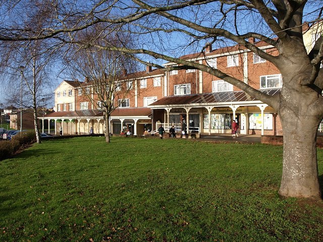
Priorswood Place
Credit:
Derek Harper
MapRun

MapRun screenshot
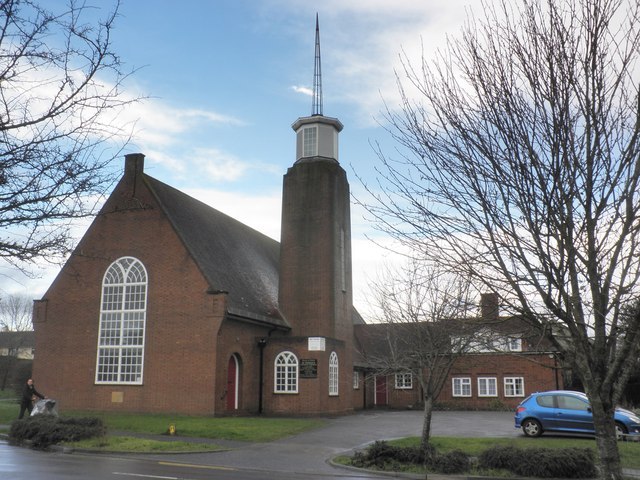
St Theresa's, Priorswood
Credit:
Roger Cornfoot
Handy cut through, Priorswood
Credit:
JP

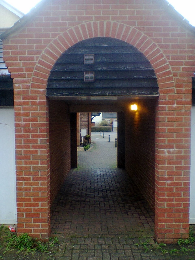
Garage block, enabling a quick cut-through
Credit:
JP