The Slades
CompassSport heat
Sun 17 Mar
Near: BridgwaterLevel of event: National
Type of event: Race

Organiser's & planner's comments uploaded
Photos by Steve Rush
Type of event: Race
Organiser's & planner's comments uploaded
Photos by Steve Rush

"Heat map" showing routes and running speed on the Brown course
Planner Steve
The courses today were broadly similar to those planned for the cancelled 2018 event - broadly because the map had to be updated for forestry operations and clearance work, then two weeks before the event a Protected Species decided to broaden the search area for its 2019 nest site and an extension of the Out of Bounds area eliminated three control sites.
Unfortunately the late change impacted Blue and Brown courses, reducing the length and climb compared with the original planning. Most competitors seemed to enjoy themselves and certainly the break in the weather helped. You all missed the near blizzard conditions in the open area about four hours before the first starts!

Starting off
The winning times on some courses were remarkably low - partially impacted by the course shortening and partially by top orienteers running their correct age class rather than their usual course choice.
Another possible impact on times compared to those normally expected on the Quantocks was that in most cases the courses were planned to be as runnable as possible and I admit that some of the route choices involved a choice of forest tracks which in either case favoured the faster runners.
And they're off...heading up Will's Neck
Nevertheless I prefer comments that the courses were a bit short compared with complaints that the courses were too long/too tough.
Thanks to Alan Simpson for his Controlling both the cancelled 2018 event and this one - it is all over now Alan! Plus the usual band of QO helpers manning SI, collecting controls etc.
- Steve Robertson
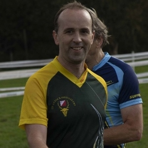
Richard S at the 2018 Compass Sport Cup final
Thank you all for coming to our second attempt to hold this race. This time last year we cancelled as there was snow covering the parking field. But today ... well actually at 7am it was snowing, but fortunately not for long, and soon the sun came out. Apologies for the loss of the clothing dump - the tent broke in the wind.
Hope you all enjoyed your runs, and congratulations to BOK and SWOC for your wins.
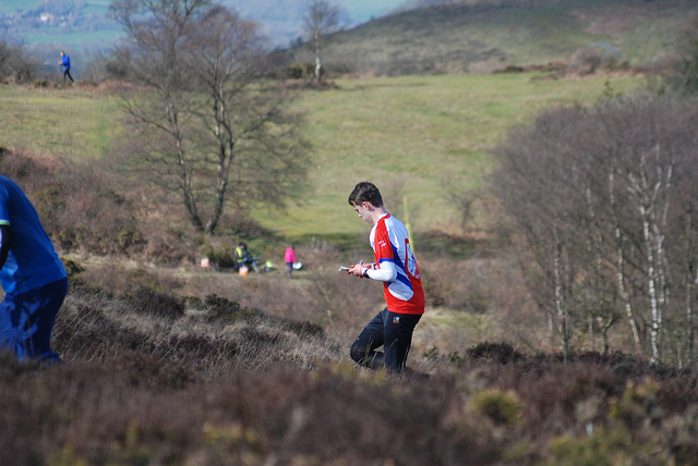
Scattered runners, on the slopes near the Start/ Finish
One green rucksack including GPS unit and power bank, left at the start - please contact Roger & Judy Craddock 01823 323850
- Richard Sansbury
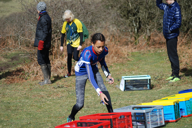
A junior from the winning Bristol team collects her map
| Pos - club | Points (max 2500) |
|---|---|
| 1 - Bristol OK* | 2465 |
| 2 - Devon OC* | 2422 |
| Pos - Club | Points (max 1300) |
|---|---|
| 1 - South Wales OC* | 1279 |
| 2 - Swansea Bay OC | 1273 |
| 3 - Cornwall OC | 1262 |
| 4 - Quantock OC | 1257 |
* qualifies for final
Thank you to Steve Rush for the the brilliant photography, a sample of which appears here. Five hundred plus more photos on his Flickr page.
This is the qualifying round for the national annual inter-club competition. Small clubs such as QO compete for the Trophy while bigger clubs compete for the Cup. In parallel with the national competition there will be white and yellow courses for juniors and beginners, and also a light green course for intermediates.
Parking will be in a grass field adjacent to Triscombe Stone car park.
Please approach from the north-east as the road up from Triscombe is signed as unsuitable for motor vehicles.
Parking charge of £1 per vehicle.
Please leave the public car park for other users.
The approach road is steep and narrow and unsuitable for full-size coaches.
The Quantocks have a reputation for steepness - course lengths have been adjusted to take the climb into consideration. The stated climb is for the most probable route – for alternative routes the climb may be higher. The competition area consists of a northern forest area and southern open moor with some woodland, primarily in the valleys.
If you would like to help your club team score points, you need to run the course for your age class and be a current member of a participating club.
| Class | Course | Age classes | Length | Climb |
|---|---|---|---|---|
| 1 | Brown | Men open | 7.8 km | 375 m |
| 2 | Short Brown | M20- M40+ | 5.6 km | 275 m |
| 3 | Blue Women | Women open | 4.7 km | 235 m |
| 4 | Blue Men | M50+ | 4.8 km | 240 m |
| 5 | Green Women | W20- W45+ | 3.4 km | 110 m |
| 6 | Green Men | M60+ | 3.4 km | 140 m |
| 7 | Veterans' Short Green | M70+ W60+ | 3.2 km | 85 m |
| 8A | Junior Men (Green) | M18- | 3.4 km | 140 m |
| 8B | Junior Women (Short Green) | W18- | 2.9 km | 85 m |
| 9A | Orange Men | M14- | 2.4 km | 95 m |
| 9B | Orange Women | W14- | 2.4 km | 95 m |
| 10 | Super Veterans' Short Green | M80+ W70+ | 2.9 km | 85 m |
All of the above courses use a map scale of 1:10000.
All courses use pictorial descriptions only, except Orange which uses both pictorials and text.
Courses 6 & 8A (Green), 8B & 10 (Short Green) and 9A & 9B (Orange) are the same.
Courses available for those not taking part in the above competition:
| Colour | Length | Climb | Map scale |
|---|---|---|---|
| Light Green | 2.8 km | 100 m | 1:10000 |
| Yellow | 1.8 km | 50 m | 1:7500 |
| White | 1.3 km | 40 m | 1:7500 |
Light Green's descriptions are pictorial only; Yellow and White use text.
Loose control descriptions will be available in the start lanes.
All entries to the Compass Sport Competition must be done in advance via your club representative. You must be a BOF member to participate and need to run alone, not as a pair or group.
| Entry category | Members* |
|---|---|
| Seniors | £12 |
| Junior / student | £5 |
| Dibber hire - standard / SIAC | £1 / £2 |
If you're not running as part of the team event, you can enter on the day as usual. The following fees apply:
| Entry category | Members* | Non-members |
|---|---|---|
| Social or family group, competing together | £12 | £14 |
| Light Green course | £9 | £10 |
| White & Yellow courses | £3 | £4 |
| Shadowed Junior | £6 | £7 |
| Dibber hire - standard / SIAC | £1 / £2 | £1 / £2 |
Lost dibbers will be charged for at their replacement cost of £40 (SI type) and £65 (SIAC) each.
* member = a member of BOF / QO or any affiliated club
Registration & enquiries will be open from 10:00.
Competition courses will have pre-allocated start times allocated by your club's team captain.
For other courses just turn up when you are ready as usual.
Starts 10:30-12:30, courses close 15:00.
Timing system- SportIdent - mixed punching-i.e. both contact and contact-less (SIAC) modes are enabled
Classic Quantock terrain with a mix of open heather covered hillside and commercial forest. Please note there are often wild ponies on the open hillside.
There are no dog restrictions.
The event centre is at 300m altitude and much of the area is exposed to wind. Waterproofs may be compulsory if the weather is poor. In the event of very poor weather the event may be cancelled.
We would only cancel if the parking field is out of action, the approach road is dangerous or high winds are endangering trees. Such a decision would hopefully be made a few days before and club captains will be informed straight away.
Please check the website before travelling.
There is an east-west fence and earth bank that forms a boundary between the forest and the moorland – there are paths on the north and south sides of this bank and fence. For clarity, the fence is not marked on the map but all gates are shown. The longer courses that use both the forest and moor have been planned to go through the gates and not cross the fence. All of these courses include controls at each gated crossing point - the control kite will be on the side of the gate as the competitor approaches it.
There are patches of gorse and bramble in the open area – where these would impede the progress of the average competitor, they have been mapped. There are areas of bracken that have died back following the cold weather that are runnable and not mapped.
There are a number of mountain bike tracks in the forest area – where these are significant and include MTB jumps they have been mapped. In the open area, tracks and significant paths have been mapped – seasonal animal tracks caused by horses, deer and sheep have not been mapped.
The trig point at Wills Neck (the highest point on the Quantocks) is marked as a boulder on the map and the cairn symbol represents a clearly visible pile of stones – these are generally between 0.4 and 0.6 m high. In some cases the control flag may be visible before the feature.
Enquiries, download, toilets and space for club tents are all in the parking field.
From enquiries there is a 500m walk to the start/finish.
In the event of wet or cold weather a tent will be put up at the start/finish where outer clothing may be left.
There will be a first aid station at the finish.
Sorry, owing to the modest anticipated attendance there is no catering, and there are no nearby shops or cafes. Please bring your own food & water.
A photographer will be in attendance (Steve Rush of Bristol OC) and it is anticipated a selection of these will be posted on Flickr after the event.
Each club's position at the 2018 final is shown in brackets.
| Club | Known as |
|---|---|
| Bristol OC (3rd) | BOK |
| Devon OC (9th) | DEVON |
| Club | Known as |
|---|---|
| Cornwall OC (didn't attend final) | KERNO |
| Quantock OC (13th) | QO |
| South Wales OC (10th) | SWOC |
| Swansea Bay OC (7th) | SBOC |
Link: Background article on other clubs in the South West
Th JK closing date is Sunday 24 March. If you have not yet entered, don't forget to do so in the next few days. The deadline for entering relay teams is the following Sunday (31 March).
More details at http://www.thejk.org.uk
Planner: Steve Robertson 01823 430071 treasurer@quantockorienteers.co.uk
Controller: Alan Simpson DEVON
Organiser: Richard Sansbury 01823 288405 richard.sansbury@btinternet.com
Insurance: Please note: Participants who are not members of British Orienteering are not covered by British Orienteering’s public liability insurance. By entering this event, you acknowledge that you are taking part at your own risk. For example, if you were to accidentally injure a member of the public or damage property during the event, you would not be covered.
Safety and Risk: A comprehensive risk assessment will have been carried out by the organiser, but participants take part at their own risk and are responsible for their own safety during the event. All participants must report to download whether they finish their course or not.
Privacy: when participating in our events/activities your name may appear in the results section of this website or in newspaper reports. Read our data protection page to see how we look after your personal data.
Photography: QO has an agreed policy on the taking of photographs at events, based on national guidance. This provides a sensible balance between the benefits and risks associated with the taking and use of images. If you are unsure about acceptable practice, please speak to the event organiser. Photos taken may be retained beyond the 2 year window for legacy purposes.
Safeguarding: QO is aware of it's responsibilities in safeguarding and child protection. To comply with The Child Safeguarding Practice Review and Relevant Agency (England) Regulations 2018, we now provide an email address for individuals to report concerns to the Lead Safeguarding Officer. This address is safeguarding@britishorienteering.org.uk.

Compass Sport
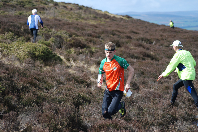
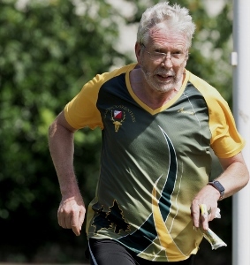
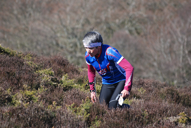
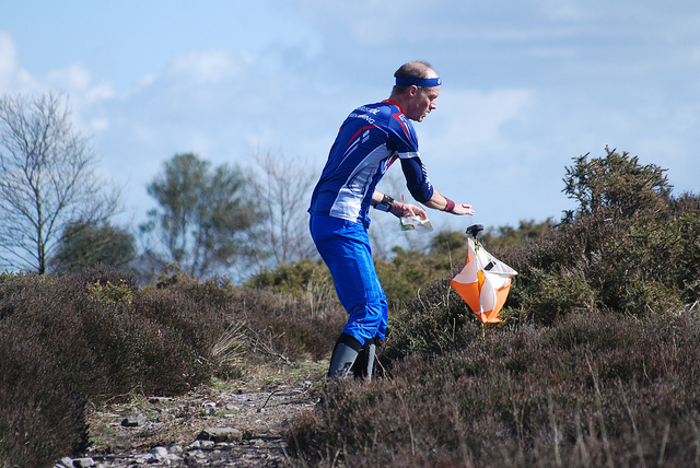
At Will's Neck- UK no.5 and Brown course winner Swansea Bay's Ben Mitchell
Credit:
Steve Rush
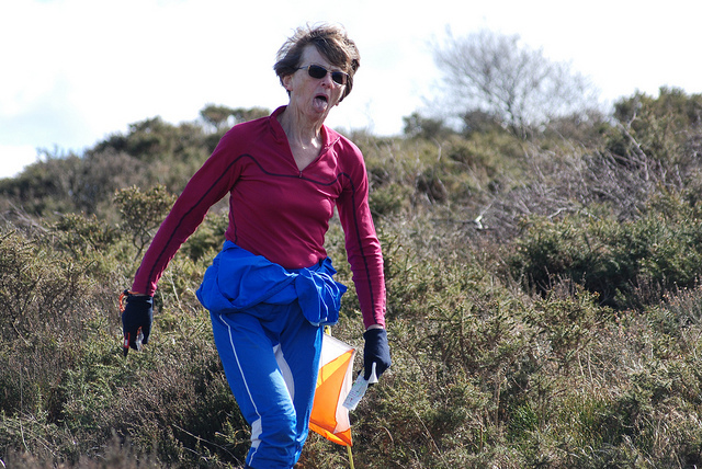
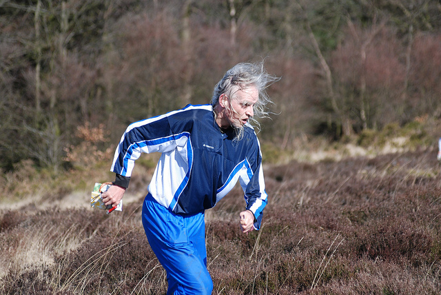
Had enough?
Credit:
Steve Rush
A QO junior in action, Wills' Neck '19
Credit:
Steve Rush
Multiple mountain marathon winner Ifor Powell (BOK)
Credit:
Steve Rush
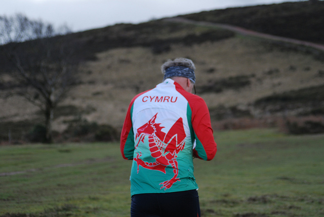
A good weekend for Welsh sport
Credit:
Steve Rush
2019 03 17 Cs Slades Sr 27

South Wales OC, the winners
Credit:
Steve Rush
Kerno OC
Credit:
Steve Rush
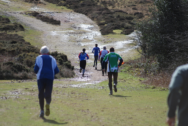
A tough uphill slog through the heath
Credit:
Steve Rush
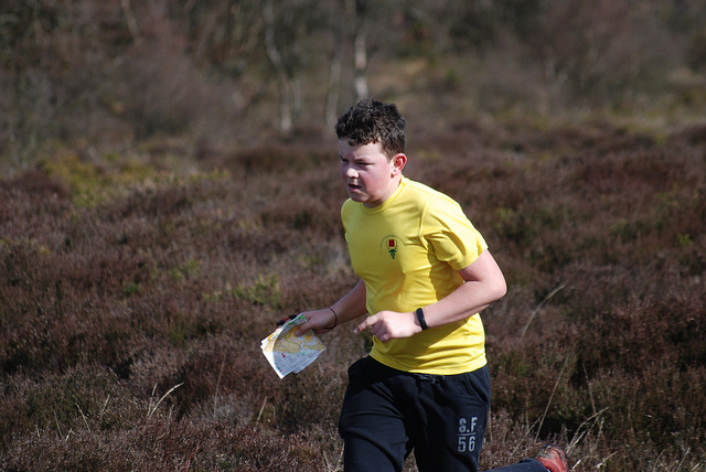
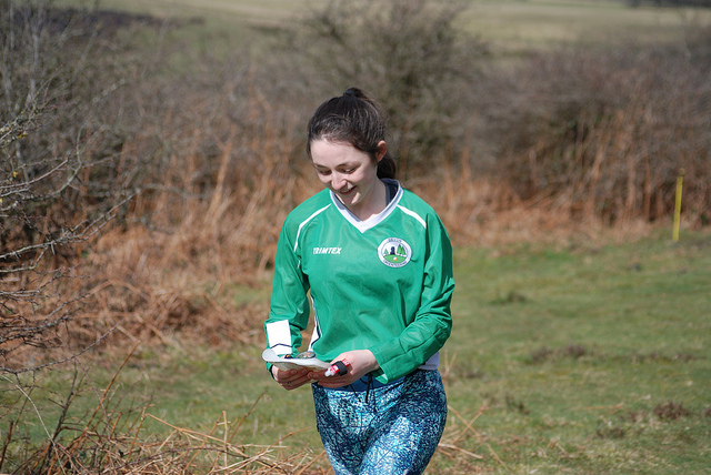
A Devon OC youngster starting
Credit:
Steve Rush
A junior at the Start, Triscombe 2019
Credit:
Steve Rush
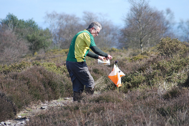
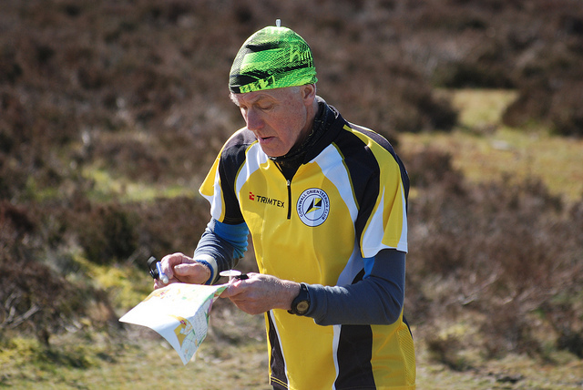
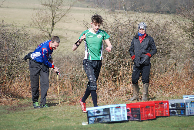
Mike A dibbing, Triscombe Stone '19
Credit:
Steve Rush
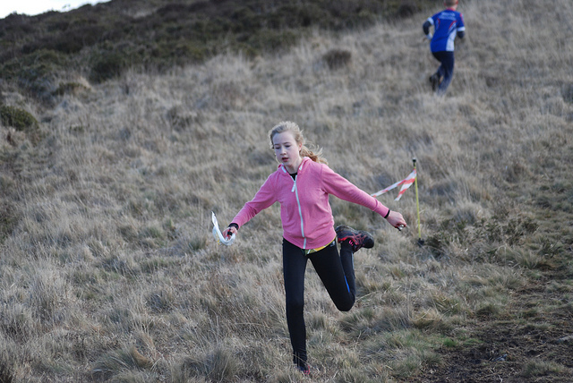
A fast downhill finish from a QO junior
Credit:
Steve Rush

Swansea Bay's Ben Mitchell gliding across the heath
Credit:
Steve Rush
A Bristol OK runner
Credit:
Steve Rush
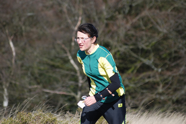
A Devon runner