Croydon Hill
QOFL 3
Sun 11 Dec
Near: Dunster
Level of event: Local
Type of event:
Race, Juniors
This was a lovely low key friendly event in the sunshine. Well done Julia for the smooth running of things.
Pictures on SW Photography Media's Facebook page
Results
Results and Splits
Routegadget
Credits
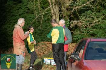
Julia Robertson (organiser) Rosie Wych (planner) Bill Vigar (controller & mapping) Bob Lloyd (permissions) Mike Andersen, Elaine and Heather Green (registration) Andy Rimes, Steve Robertson, Spencer Modica (SI / computers) John Trayler, Robert Green, Pete Shirvington & boys (start) Tony Hext, Steve Williams, Bob Lloyd (parking & welcome) Steve Winkley of S.W. Photography & Media (photography)
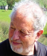
John Fisher
An orienteer's view: John Fisher
After an unwanted 'year out' I was walking more easily with fewer rests, and felt up to trying my usual Green at Triscombe. I know the area very well, and seriously doubted I'd complete the course, but wanted to try. In the event I DID get round. By tight navigating and prior knowledge of ground conditions I even beat a few. and as I couldn't get to QOFL2, the QOFL3 at Croydon Wood beckoned.
I've orienteered there before, but also walked the paths and set routes through it for students- and then bounced around trying to locate the ones who were late or lost! But that was the past..
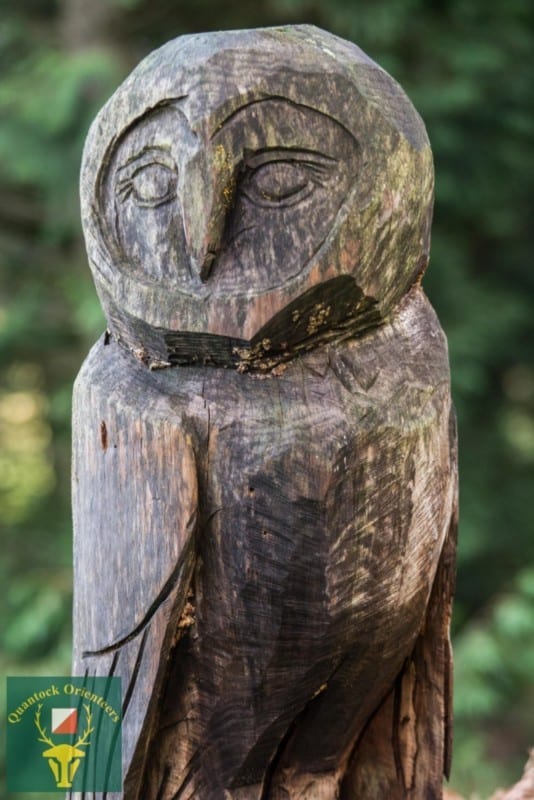
A wise owl watches
It started promisingly. I had to get back by 2pm, so I left early. Thick mist in Taunton Deane, but once past Crowcombe it cleared to a bright morning. I saw four deer on the way up from Dunster to the forest. Got an early start, commenting that I wasn't sure how it would go. Memories of crossing to the hill fort in the North on previous courses were still fresh. Would there be a lot of climbing?
First leg. Take time to be sure of map orientation and scale. Skirt round the thicket and compass through nice flat open forest. Flag exactly where it should be and not visible from any great distance.
Move smartly away, set compass to take me to the track. Cross it and compass into a rather overgrown bit. Not my favourite. Spot the stream and choose a crossing point- flag now visible for next control. Next leg seems to follow a little stream- but slowed by all the heaps of slippery brashings. Across ride and accurately a few yards to next control.
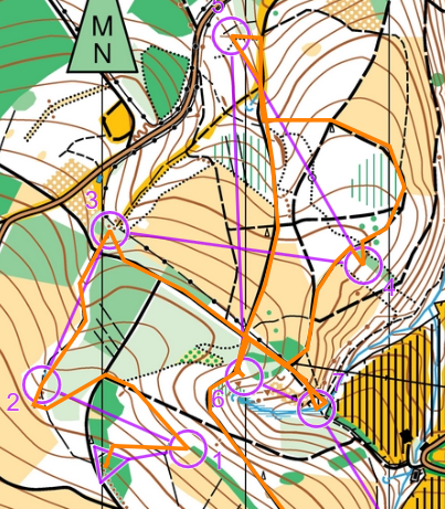
John's route (part 1)
Since the 'open' forest areas seem rather hard in my present state, I decide on the rather longer option of following track to the junction, turning left, then forking right. Works well. Past the darker green band, cut in. Spot on..
Quickly back to the ride. Opt to loop round on the hard dry track and compass down valley side to the track. Mistake- steeper than I expected, and lots of tangle underfoot, and the last bit dropped down steeply to the track- the kind of thing I have to be very careful on. Jog down track and slowly up earth bank to control. Back to the track and a longer, slow walk uphill to the junction.
Control 6 nicely placed- easy to walk past on the track, but exactly where it should be. Back to junction and down track to 7. Another route's control prominently ahead- but I turned in at the correct place, disturbed only by the giant ant hill.
Now I know there's a long uphill. I decide going back up to the upper track and taking it steady will pay off. I'll be interested to see on RouteGadget whether others went the more direct way.. The attack point for 8 is clear, and I punch quickly and carry on to the track. I'm tiring, and the footing has been much more demanding as I follow the track downhill. After scrambling through two fallen trees across the track I decide to cut down the slope directly- exactly the kind of thing I now find taxing. Ho hum. But a well placed control 9, visible only from close, rewards me. But I hate getting back up that bit of hillside!

John's route (part 2)
Back past 8 to 10, and turn down slope. Somehow aim too far right, and waste time in the wrong thicket before finding 11 and walking slowly to the Finish. I'm 3rd of 3. It can't last! ( It didn't! Tom Hasler as a M14 was just beaten- but did very well. Didn't have my experience of running the area before!) I usually used to get round in about 150% of the winner's time- this time it was nearer 200%. Just not enough slow Greens on the day… I was still very happy. Luckily I was not wearing QO livery, so the photographer didn't notice me...
Thoughts on the day? Aren't we lucky to have so many in our small Club who will plan and set-up and man something that gives so much pleasure? I've planned the odd JOG and know how much time and effort even the small events take- but boy, they give so much to us all. And two hours later, after a bath and food, I'm off to a magnificent concert in St Mary's. 'Lark Ascending', Eroica. My daughter playing 'cello.
A great day. QO's members are a great bunch. Have a great Orienteering NewYear, everybody.
John Fisher
Editor's notes:
Thanks John, hope it's the first of many more QOFLs for you.
John also explains his injury and more in his Background of Orienteer article
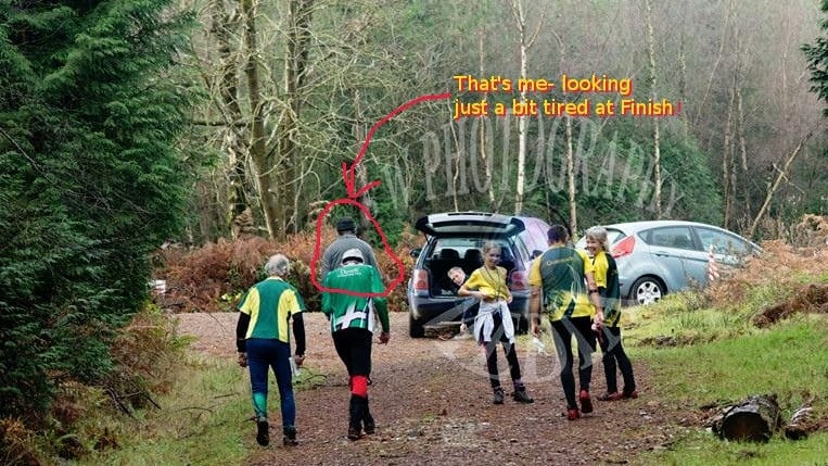
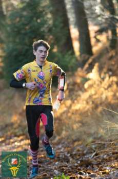
John finishes & heads for download
Did you know the area has a permanent course?
Show Pre-Event Info
Directions / Parking
Parking on forest roads.
Nearest towns: Minehead and Dunster, signed from A396 , 1km west of Dunster
Nearest post code for the area is TA24 6TD
(Please note: Nearest toilets at public carpark in Dunster)
Terrain Description
Woodland, with an extensive network of forest roads and paths and some steep sided valleys
Dog restrictions
Dogs allowed
Contacts / Officials
Organiser: Julia Robertson 01823 430071
Planner: Rosie Wych
Controller: Bill Vigar
Important Event Information
Insurance: Please note: Participants who are not members of British Orienteering are not covered by British Orienteering’s public liability insurance. By entering this event, you acknowledge that you are taking part at your own risk. For example, if you were to accidentally injure a member of the public or damage property during the event, you would not be covered.
Safety and Risk: A comprehensive risk assessment will have been carried out by the organiser, but participants take part at their own risk and are responsible for their own safety during the event. All participants must report to download whether they finish their course or not.
Privacy: when participating in our events/activities your name may appear in the results section of this website or in newspaper reports. Read our data protection page to see how we look after your personal data.
Photography: QO has an agreed policy on the taking of photographs at events, based on national guidance. This provides a sensible balance between the benefits and risks associated with the taking and use of images. If you are unsure about acceptable practice, please speak to the event organiser. Photos taken may be retained beyond the 2 year window for legacy purposes.
Safeguarding: QO is aware of it's responsibilities in safeguarding and child protection. To comply with The Child Safeguarding Practice Review and Relevant Agency (England) Regulations 2018, we now provide an email address for individuals to report concerns to the Lead Safeguarding Officer. This address is safeguarding@britishorienteering.org.uk.
Photo Gallery
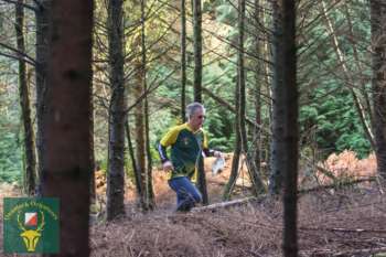
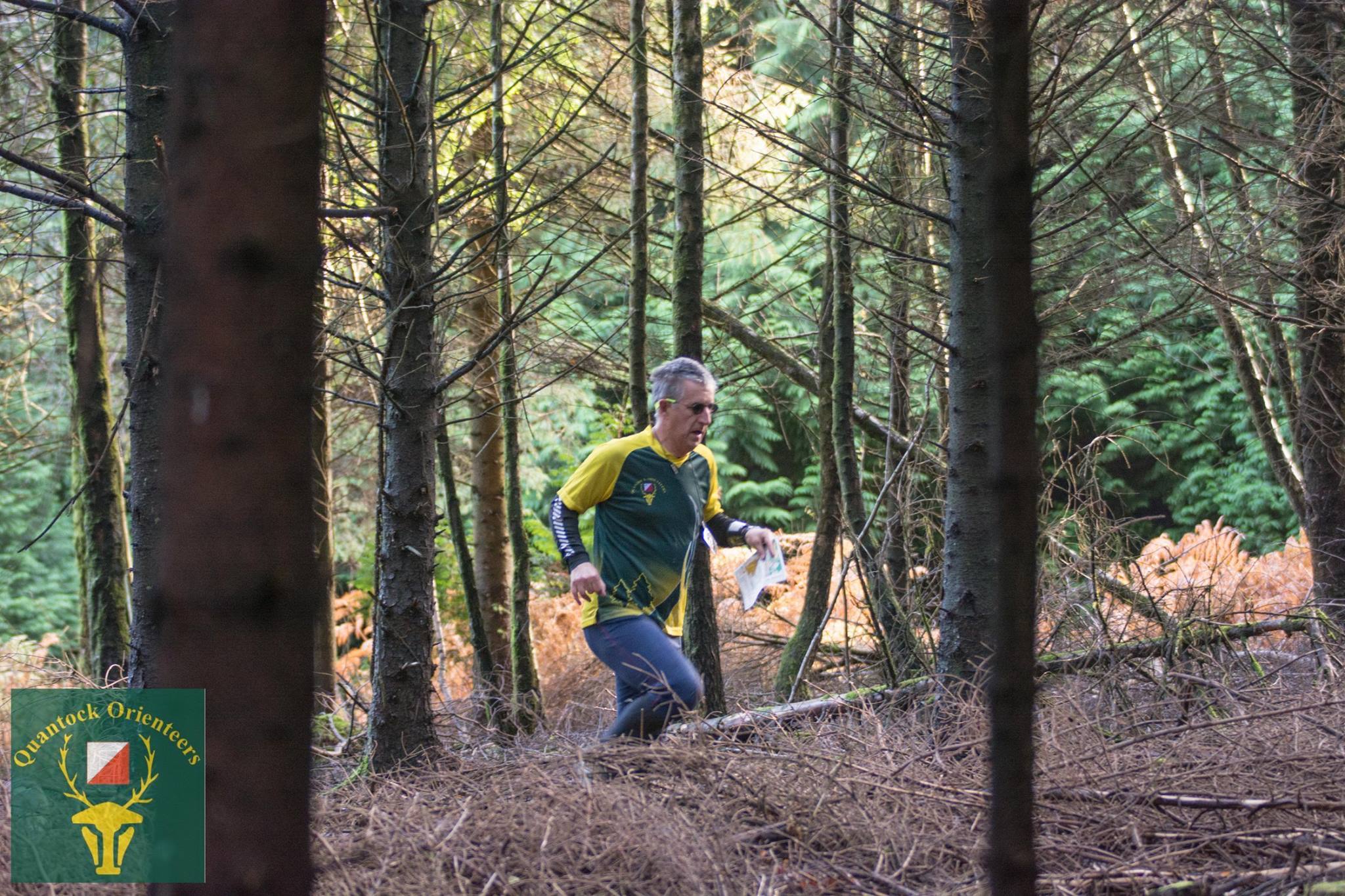
Graham Hartley
Credit:
Steve Winkley
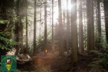
Sunlit Forest
Credit:
Steve Winkley
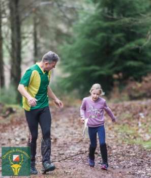
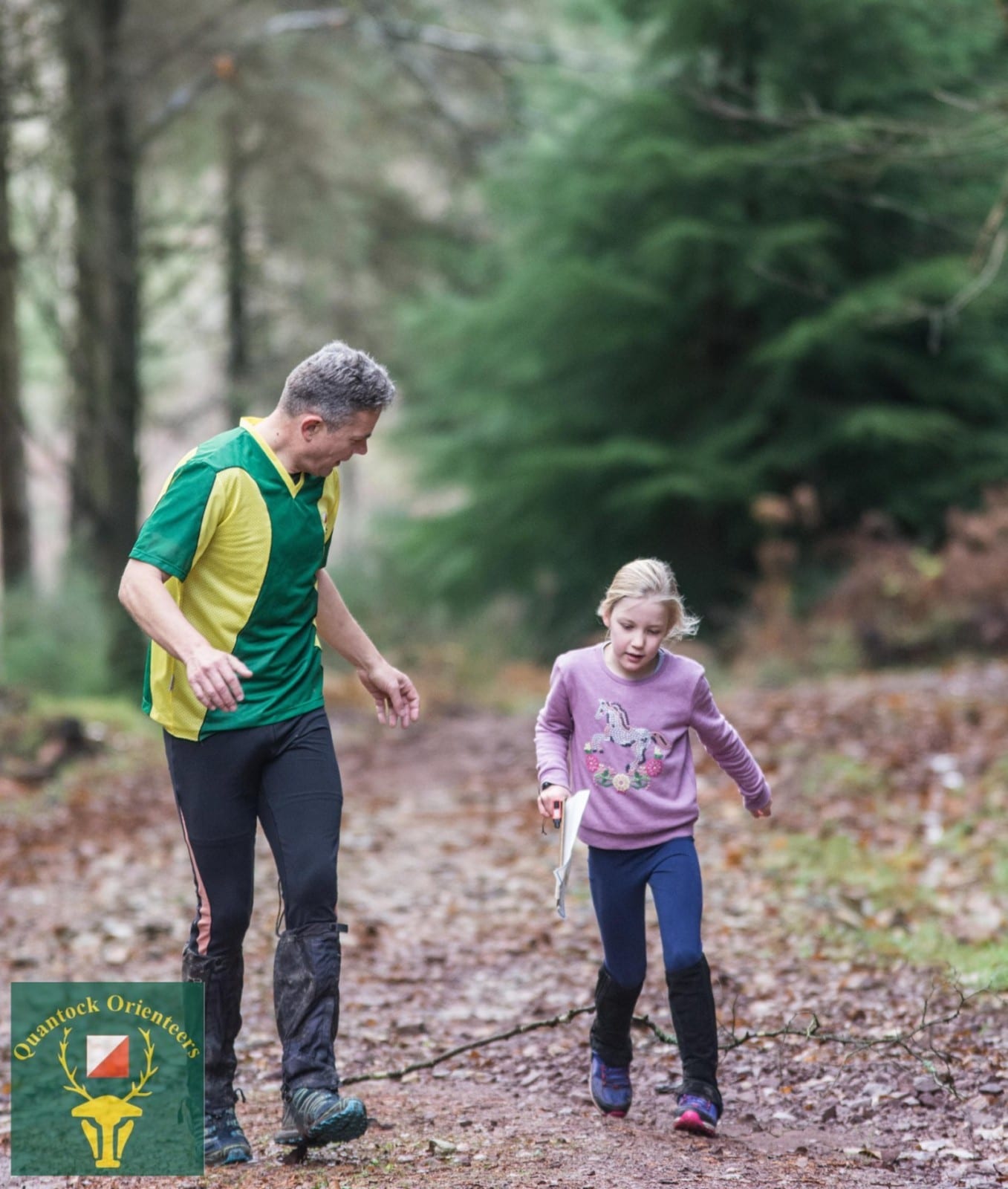
Mike Andersen & Matilda
Credit:
Steve Winkley
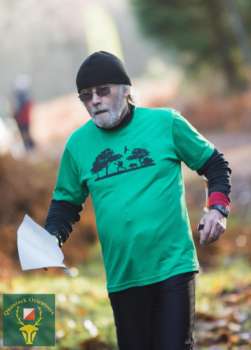
Tony Hext
Credit:
Steve Winkley
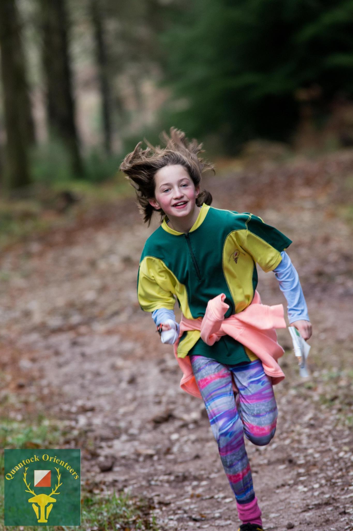
Flurry In A Hurry
Credit:
Steve Winkley

Ailani
Credit:
Steve Winkley
Bill, Elaine, Spencer & John T at the Start
Credit:
Steve Winkley
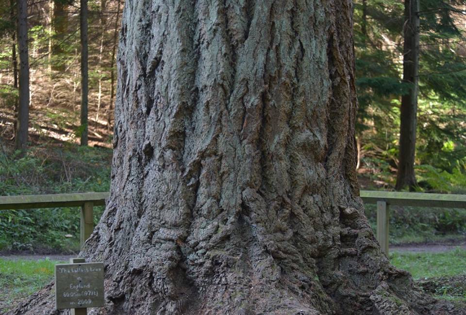
Nutcombe, nr Croydon Hill
Credit:
Simon Beck