Thank you to everyone who braved the weather to turn up and congratulations to NGOC and SBOC for coming 1st in the cup and trophy competitions. Updated with organiser and planner comments.
Firstly, wholehearted thanks to Charles Daniel for stepping in to control when he had already had a very heavy controlling load in 2024 plus thank him for his advice when we had to replan all the courses after Forestry England announced the Ecological Exclusion Zone 10 days before the event. This event would not have been possible without his additional support.
We then had the spectre of potential gale force winds and a range of forecasts from different sources. After tracking the forecasts in the preceding week, and much discussion, we decided to continue with the event.
Then when we thought things could not get any worse, we discovered, when placing controls, that an area had been clear felled in the week before the event. Fortunately, it only impacted one course, and we were able to mark up the maps.
Despite the weather conditions the winning times on the longer courses were as expected and lower than expected on the shorter courses. I can only put this down to less climb on the shorter courses as a result of the re-planning and the quality of some Southwest orienteers in the older age categories.
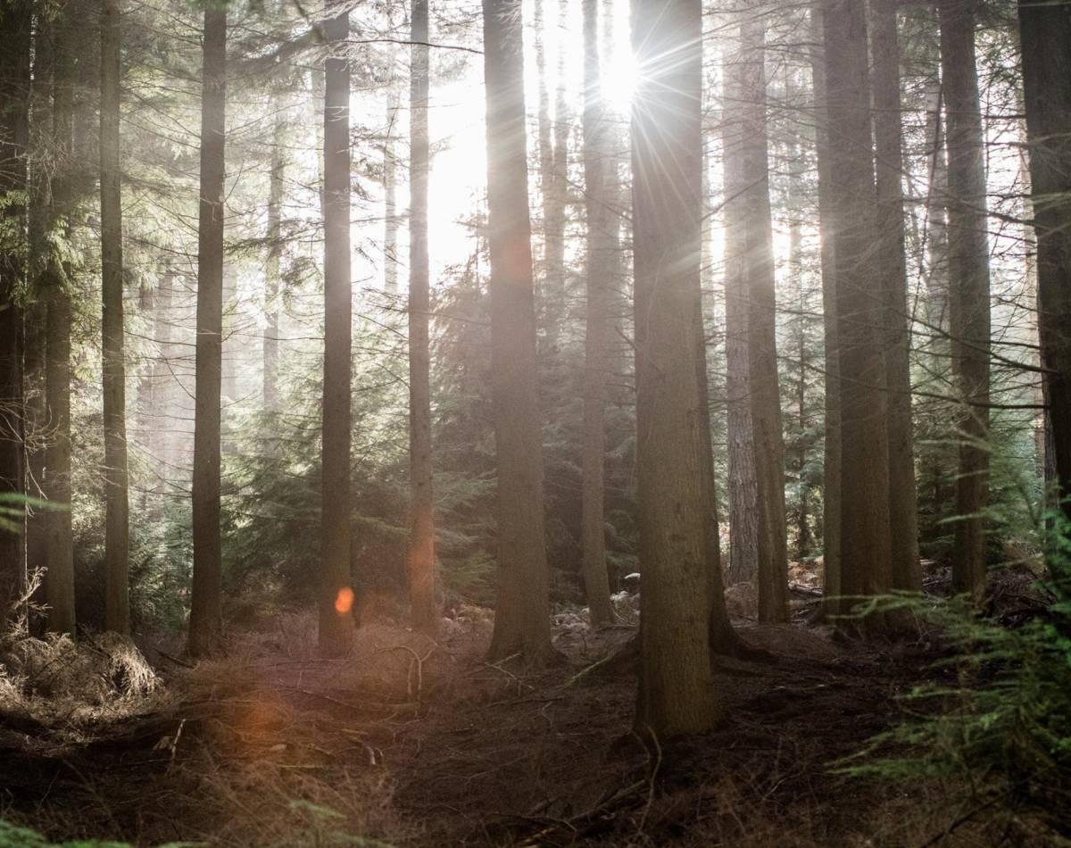
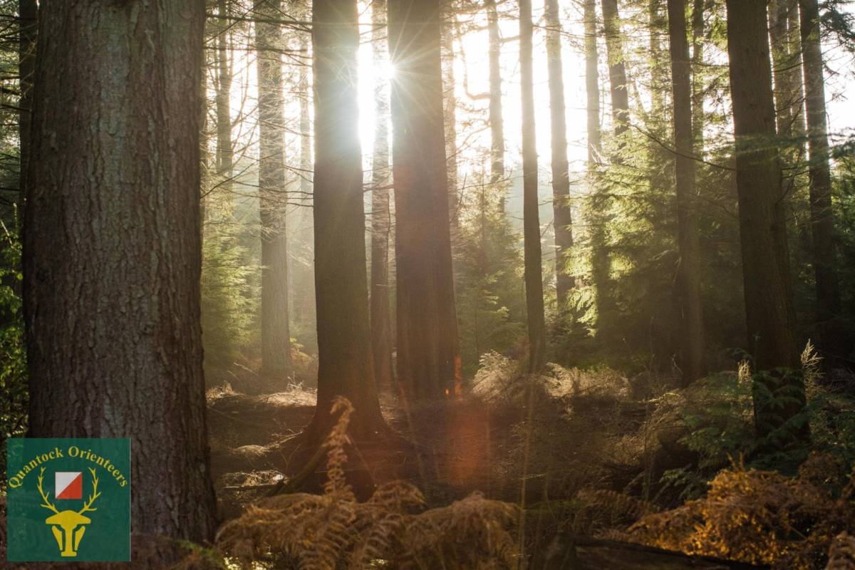
Thank you all for competing and see you all in a sunlit forest in the future.
Ps When placing the controls on Saturday there were magnificent views of South Wales across the Bristol Channel -- what a difference a day makes.
Organiser comments:
From Karen:
My first attempt at organising a Level B event and this was a hum dinger to open with. Thanks to the experienced members supporting me, I think we managed to pull it off.
We had several setbacks – the exclusion zone just 2 weeks ago which meant that the courses had to be replanned and the start was moved. Then the weather which was definitely sent to test us. All I can say is that without Steve’s resilience and determination, the event would not have gone ahead.
Unfortunately, we were thwarted on the day by the weather and we were unable to get the tents to stay up (3 attempts in 3 different places) and so no registration tent, no download tent and no live results. However, the alternative plans that the team came up with on the hoof, worked and they pulled it off.
I would like to thank Phil for organising the starts – absolutely brilliant job. We have a few learning points to take away, but generally it all went well.
I would also like to thank all the volunteers – the SI team -Andy Rimes, Rosie Wych, Jeff Pakes, Chris Philip, Roger Craddock and Brian Pearson. The rest of the team - Phil Sorrell, Judy Craddock, Linda Mudd, Hazel Mudd, John Trayler, Mike Anderson, Matthew Knipe, Stephen Lysaczenko, John Greenhalgh, Brian Fletcher, Katie Goddard, Sheila Braine, Simon St Leger, Miffy Treherne, Oliver Lewis, Claire Bennett, Ollie Rant, Richard Sansbury, Robert Fieldhouse, and Adam Fieldhouse, as well as Martin Yeo and Jamie Parkinson from Devon Orienteering group. I would also like to thank Charlie Daniels the Controller.
Thank you to all the outside help – Somerset Toilet Hire for the supply of toilets and working with me to deliver them on Saturday and Mendip Medics for their provision of first aid at the event.
Also, I could not have coped as well without the support and assistance from my other half – Richard Barker. As you can imagine, he puts up with a lot😁
Lastly, I would like to thank the jurors for agreeing to be ready to step in - Mark Dyer (BOK), Roger Hargreaves (KERNO) and Roger Crickmore (WSX).
There are a few things / minor points that I could have improved upon but I think that, in my opinion, it went fairly well.
Now to dry the gear.
Croydon Hill is primarily a managed Forestry England woodland – the area is covered in a multitude of forest roads and tracks and includes terrain including mature runnable forest, impenetrable juvenile trees and open areas – some fast and runnable but many bracken, mixed with bramble, and only walkable at best.
Updated with final details, directions and latest map
Final details are detailed below or can be downloaded as a pdf (last updated 20/02/25)
Please note that due to the narrow roads and tracks strictly no buses, coaches or large mini buses.
Entrance to the parking is marked by the purple box and can only be approached from the south - SS968412 TA23 0SX what3words ///winner.mills.speech (the approach from the north is closed (the road has collapsed into river). The local roads are narrow! The best routes are either to travel further along the A396 (from Dunster) to Timberscombe, then heading south and turn left at Couple Cross (marked with purple arrows) or travel north from Heath Poult Cross on the B3224 and turn right at Couple Cross (marked with a red arrow).
Please ignore the road closure signs as you head North to entrance to the parking (the road closure is between Dunster and the event!)
Please ensure that you allow plenty of time to allow for passing locals on the narrow roads.
Please note that there can be no arrivals after 12 noon and competitors are not able to leave before 12.30 to ensure a sensible flow of traffic on the parking tracks.
Parking will be on the forest track up from the Croydon Hill entrance. You will be directed by car parking marshals. Car parking is roughly up to 900 metres from registration / download and the finish. Starts are about 400 metres from assembly.
Course Information
As you may be aware, we received information from Forestry England on 12th February that they have implemented an Ecological Exclusion Zone in the middle of the competition area. The zone impacts 12 control sites and 12 of the 14 courses. The planner and controller, with support from the rest of the QO team have pulled off a miracle and managed to re-plan and re-control in less than a week! As such the courses are different to what was first published.
Please note that the main entrance / exit forest road is marked on the map with 'forbidden route' markings (red crosses) but it may be crossed, with care, but not run or walked along while on their course.
The exclusion zone is also marked - you may only go through this area on one of the marked major tracks.
The northern part of the map has been used for orienteering but the southern half has only recently been mapped.
Like the neighbouring Quantocks there are a number of steep sided combes and where possible the courses avoid these. Nevertheless, this has not always been possible and as a result the courses are shorter, with more climb, than you would normally expect.
When deciding on route choice all competitors are advised to avoid any open area that is shown as walk – these areas may be walk in parts but attempting to cross them would be a bad decision.
The following special symbols apply:
X (Green) – Rootstock, only rootstocks greater than 2 meters in height have been mapped
X (Black) – Hide, these appear and disappear, only the more substantial versions have been mapped
O (Black) – Cairn, these are less than 1 meter but are clearly visible.
On some courses there are controls that are described as ‘Single Trees’ and mapped as ‘Prominent Bush or Tree’ these are trees that have been snapped by high winds and are still standing – example photographs below:
Storm Darragh introduced windblown trees in some areas and across rides and forest roads. In most cases an easy detour round the fallen tree(s) is possible. In one case a forest road that offers an alternative route choice on Courses 1 and 2 is blocked – we hope the tree will have been cleared by the event, if not a potential diversion route will be shown in the start lanes.
All maps are A3 size and 1:10,000 scale.
Control descriptions printed on the map are IOF pictorial symbols on all courses except m9A/B, Yellow and White that will have both pictorial and text descriptions.
Loose control descriptions will be available in the start lanes.
Start Process
As a result of the re-organising process, we have made the decision to simplify the start process and all competitors will now punch the start. Competitors are reminded to ensure they arrive for their allocated time slot.
Punch SIAC battery and clear
At -4 minutes – make yourselves known to official (1), and punch check (3) - then wait by line
At -3 minutes – move onto next box and get control descriptions and if applicable punch SIAC test
At -2 minutes – move onto final box for briefing
At -1 minute – move to stand by correct map box
At -10 seconds – take map
At 0 seconds - GO (punch start before looking at map)
Odd courses are on the left and even courses are on the left.
Beyond checking you have the correct map, you may not look at your map until you have punched the start.
If you are late, a helper or on a non-competitive course, please go to the official to the right (2) who will give you a start time. There is a penalty for missing your allocated start time and that there may be additional delays at the start to accommodate late starts due to the number of competitors in a short start window. Helpers will be given priority. Please help the start team and avoid a penalty by allowing plenty of time to navigate the diversion, get past cars on the narrow lanes, park and get to the start!
Control Punching
All controls will be SIAC enabled. If you do not have a SIAC contactless dibber, you need to physically dib the units.
ALL COMPETITORS MUST PHYSICALLY PUNCH THE START AND FINISH CONTROL.
If a SIAC card fails to register at a control in contactless mode, you should revert to ‘dibbing.’ A SIAC card with a flat battery will still function in dibbing mode, and the beep/flash feedback from the control unit will confirm you have punched.
In the event of control box failure, you should punch your map with the back-up pin punch that will be attached to the kite hanging from the stake.
SIACs: Note that in contactless mode no record of a SIAC "punch" is held in the control box. By using contactless punching, competitors are accepting the resulting risk that we may take longer to find them if they are lost or injured.
Control Site Layout
Controls will have a SIAC enabled box mounted horizontally on the top of the stake, which will also have the control code on it. An example is present at assembly/enquires.
Results
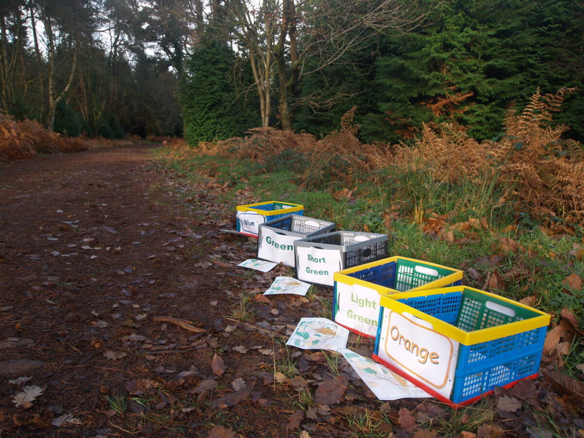
Results will be displayed on the day in a tent next to download.
Entry Details
As this is the Compass Sport Qualifier all entries for the competition are carried out via the clubs Club Captain and any issues with time changes and additional runners need to be made via the Club Captain at the Enquiries tent.
There will be non-competitive coloured coded courses for Yellow and Light Green - pre-enter on RaceSignup
There will be no entries on the day.
Seniors £14.00 and Juniors £5.00 for CSC event only.
Normal si-cards free, siacs £2.00 to hire (limited availability) (£80 replacement cost for non returned units)
In the event of poor weather, a decision will be made on whether the event is going ahead on 7pm the day before the event. This decision will, at the very least, be posted on the website homepage.
Registration & Start Times
Registration will open from 09:30
Start times: 10:30 to 12:30 (helpers may be able to start early)
Course close at 15:00
There will be portable toilets available close to registration.
Unfortunately, there will not be any concessions on site, so we recommend that you bring with you any provisions required. Please ensure that you take any rubbish home.
There will be an area for club tents alongside the run in to the finish. We will mark the area accordingly.
Please do not run with a dog. Any dog mess in the assembly area must be picked up and removed from the site.
Dog restrictions
Dogs are only allowed at assembly
Safety
Orienteering is an adventurous activity and all participants must accept there is an element of risk involved in taking part.
Full leg cover must be worn and whistles must be carried by all competitors – we will check before you get to the start. In bad weather we may decide that cagoules must be either worn or carried while competing. In this case a notice to this effect will be displayed,at the registration area
An emergency phone number is printed on all the maps.
There will be a first aid vehicle and 2 paramedics on site for the duration of the event. This will be based close to the download area.
For anyone with a pre-existing medical condition, we would strongly encourage you to leave a note with the registration team in case of emergency. This information is confidential and will be destroyed by the organiser immediately after the event.
Cancellation Policy
Quantock Orienteers will make every effort to ensure the event goes ahead as planned. However, should the event be cancelled, QO reserves the right to retain part of the advance entry fees to meet costs already incurred or committed to.
Any late notifications, amendments etc will be posted on our website, please check our website before leaving home.
Contacts / Officials
Planner: Steve Robertson treasurer@
Organiser: Karen Lewis secretary@
Controller: Charles Daniel (BOK)
Important Event Information
Insurance: Please note: Participants who are not members of British Orienteering are not covered by British Orienteering’s public liability insurance. By entering this event, you acknowledge that you are taking part at your own risk. For example, if you were to accidentally injure a member of the public or damage property during the event, you would not be covered.
Safety and Risk: A comprehensive risk assessment will have been carried out by the organiser, but participants take part at their own risk and are responsible for their own safety during the event. All participants must report to download whether they finish their course or not.
Privacy: when participating in our events/activities your name may appear in the results section of this website or in newspaper reports. Read our data protection page to see how we look after your personal data.
Photography: QO has an agreed policy on the taking of photographs at events, based on national guidance. This provides a sensible balance between the benefits and risks associated with the taking and use of images. If you are unsure about acceptable practice, please speak to the event organiser. Photos taken may be retained beyond the 2 year window for legacy purposes.
Safeguarding: QO is aware of it's responsibilities in safeguarding and child protection. To comply with The Child Safeguarding Practice Review and Relevant Agency (England) Regulations 2018, we now provide an email address for individuals to report concerns to the Lead Safeguarding Officer. This address is safeguarding@britishorienteering.org.uk.